


The Lemosho route at a glance
Kilimanjaro's Lemosho route is 70 km (43 mi) in total. Compared with the six other Kilimanjaro ascent routes, the Lemosho is neither the hardest nor the easiest – it's somewhere in the middle.
The Lemosho is one of the newest Kilimanjaro routes. It was introduced as an extension, or alternative, to the Shira route, which starts at a higher and therefore more challenging altitude.
The Lemosho route gifts its trekkers truly gorgeous scenery. During a Lemosho route Kilimanjaro trek, you hike through lush rainforest, then Afro-alpine moorland, followed by alpine desert, and finally the arctic world of the summit.
The Lemosho route approaches the mountain from the west. You spend the first couple of days trekking through the rainforest to Shira Ridge. You then join the Machame route near Lava Tower in the Afro-alpine moorland band. The route then follows a path known as the Southern Circuit, which winds its way below Kibo Peak's Southern Ice Field.
The base camp for your summit attempt is Barafu Camp. Leaving camp at midnight, you soon enter the icy arctic world of the mountain's Kibo Peak during your summit push.
Having hopefully reached Uhuru Peak, you finally descend all the way back down to the rainforest along the Mweka route, which runs along the southeast slope of the mountain.
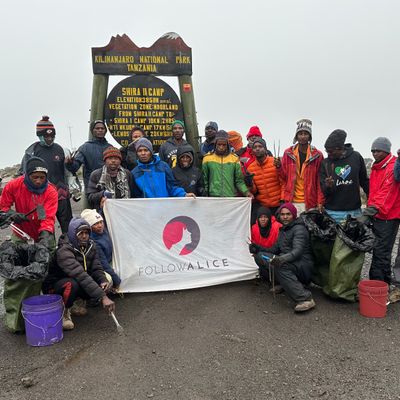
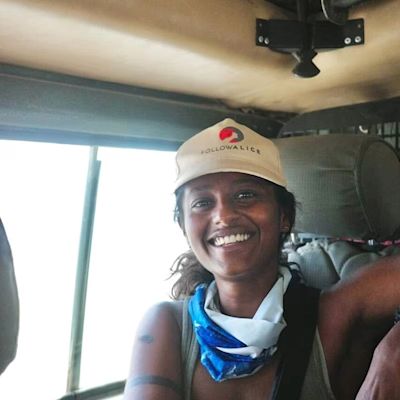
One of our clients striking a novel pose on the Lemosho route 😂
The seven and eight-day Lemosho routes
The Lemosho route can be completed over seven or eight days, with the longer version giving an extra day for the ascent.
The eight-day Lemosho route in particular enjoys a very high summit success rate, which means most people who trek it actually manage to reach Uhuru Peak, the summit of Kilimanjaro! (The only route with a higher summit success rate than the eight-day Lemosho is the nine-day Northern Circuit.) So this is a good route to choose if you want to maximise your chances of reaching the summit. If you're unsure, book a call with us, and we'll be happy to answer any questions you may have.
7-day Lemosho route map
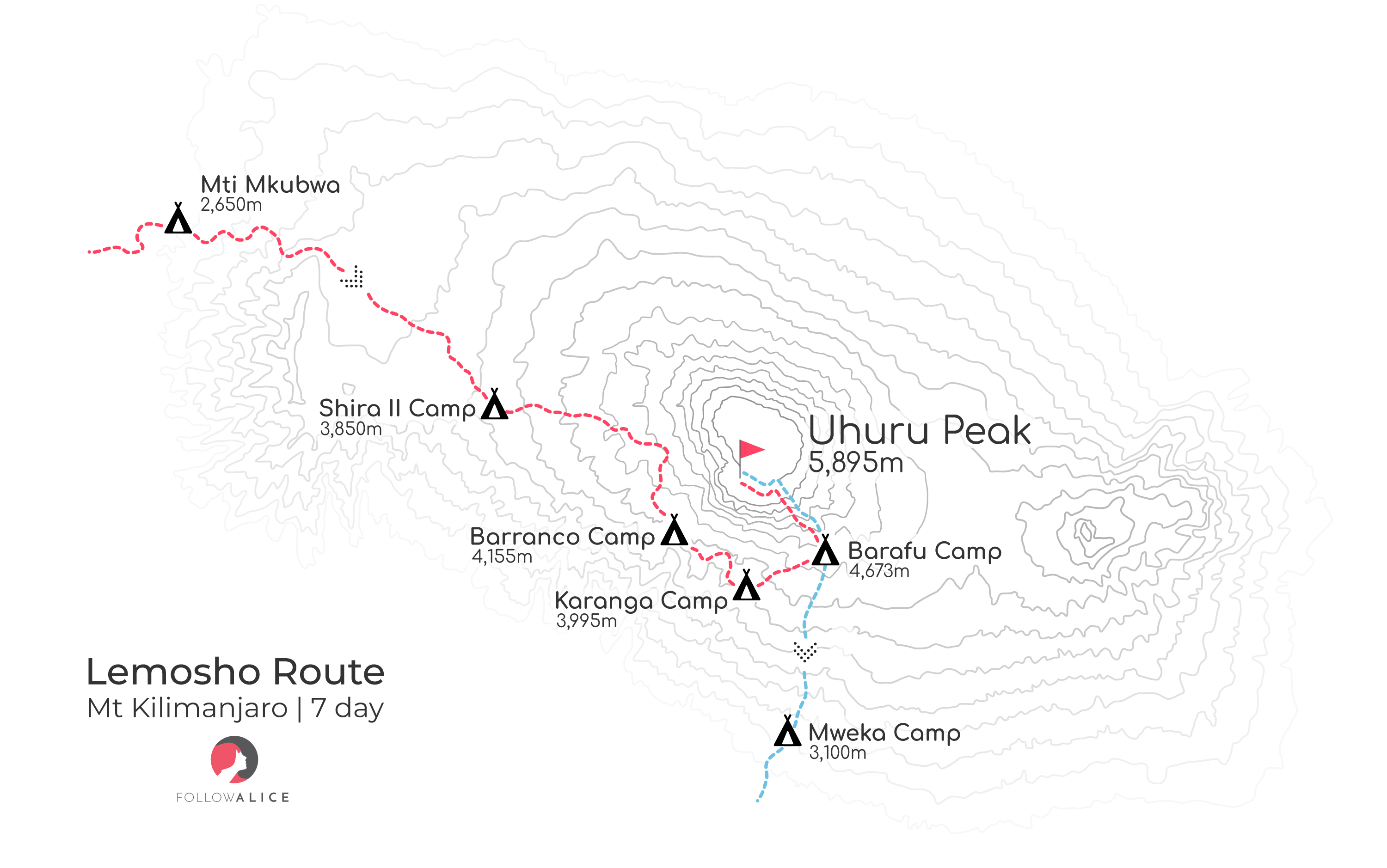
Map of the seven-day Lemosho route
8-day Lemosho route map
As you can see in the map below, you spend more time around the 4,000 m mark on the eight-day Lemosho than you do on the seven-day version, which lets your body acclimatise even better to the high altitude before making it climb higher.
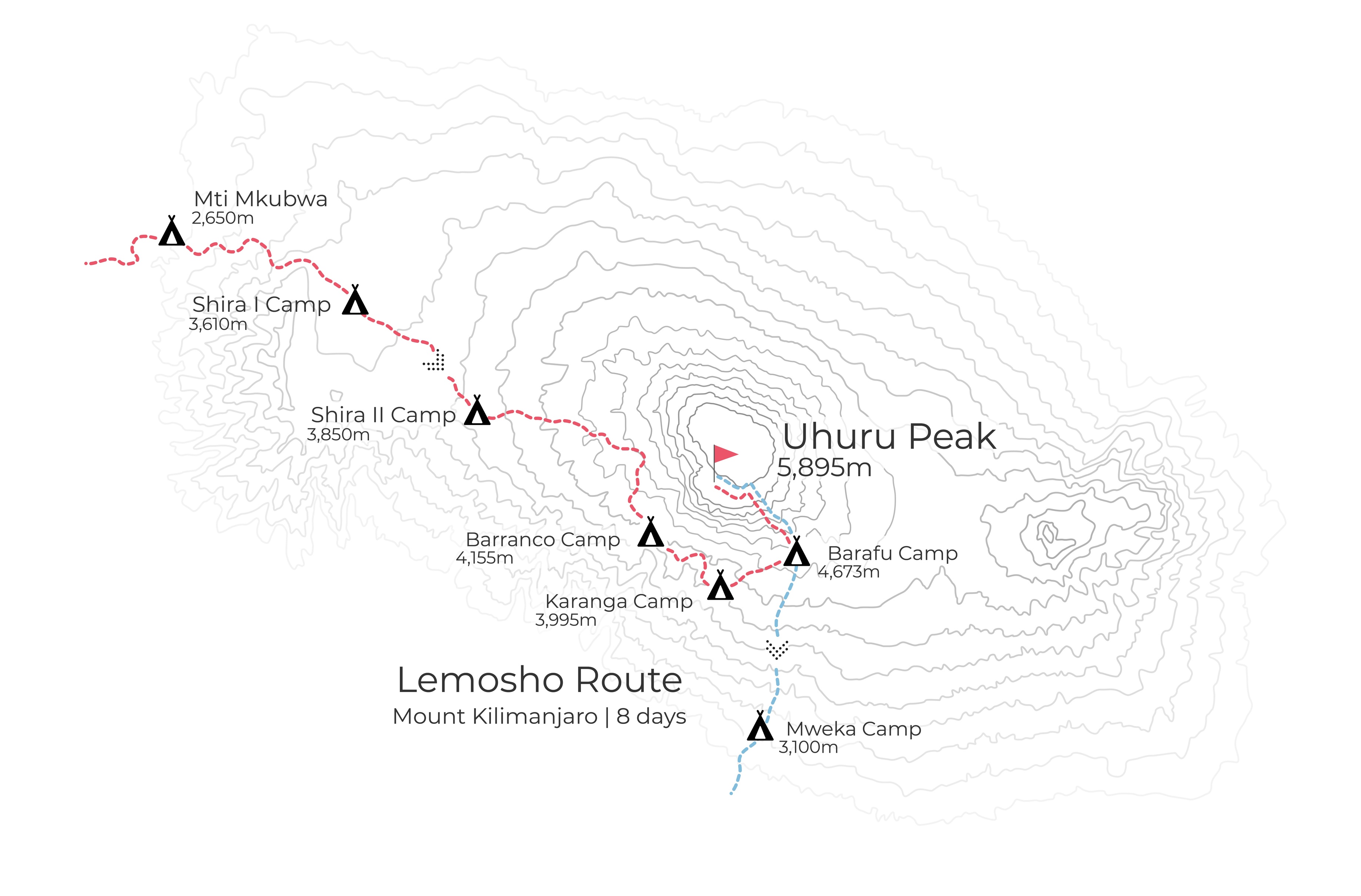
Map of the 8-day Lemosho route
8-day Lemosho route graph
We also have a graph that provides a breakdown of the eight-day Lemosho route itinerary.
Graph of the 8-day Lemosho climb
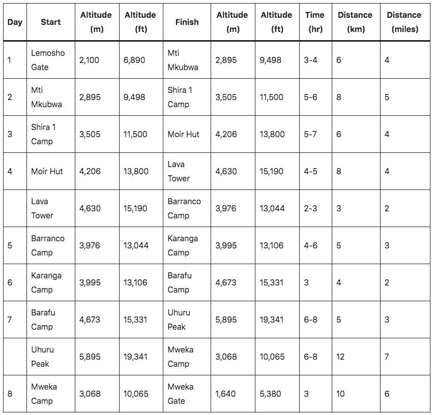
Day-by-day route description
Here now is a detailed day-by-day description for the eight-day Lemosho route.
Day 1: Lemosho Gate to Mti Mkubwa
- Elevation: 2,100 m to 2,895 m
- Distance: 6 km / 4 miles
- Hiking time: 3-4 hours
- Habitat: Forest
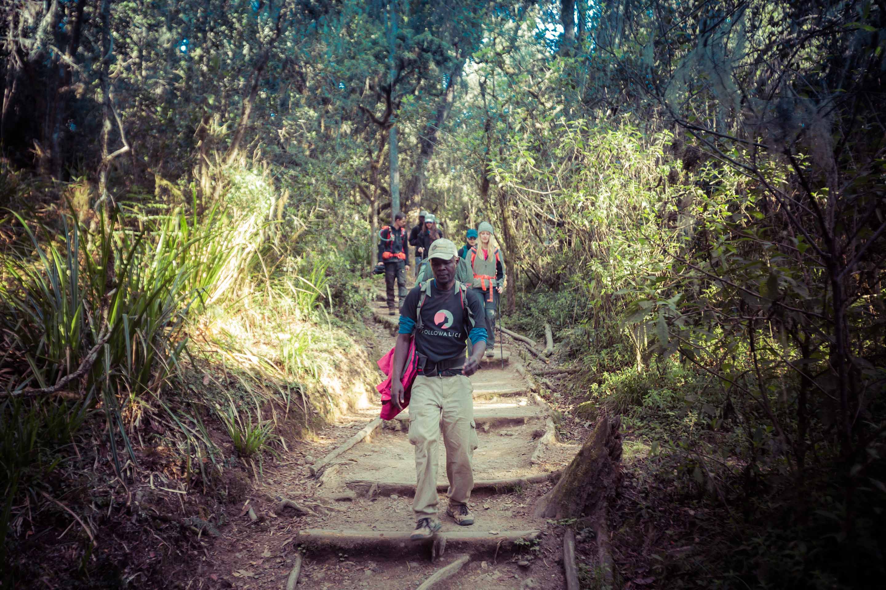
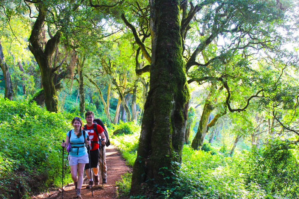
You enter the Lemosho Gate for the trailhead. From there, it's a hike of three to four hours up to Mti Mkubwa, also known as the Big Tree Camp. This is your first night sleeping under the stars in tents!
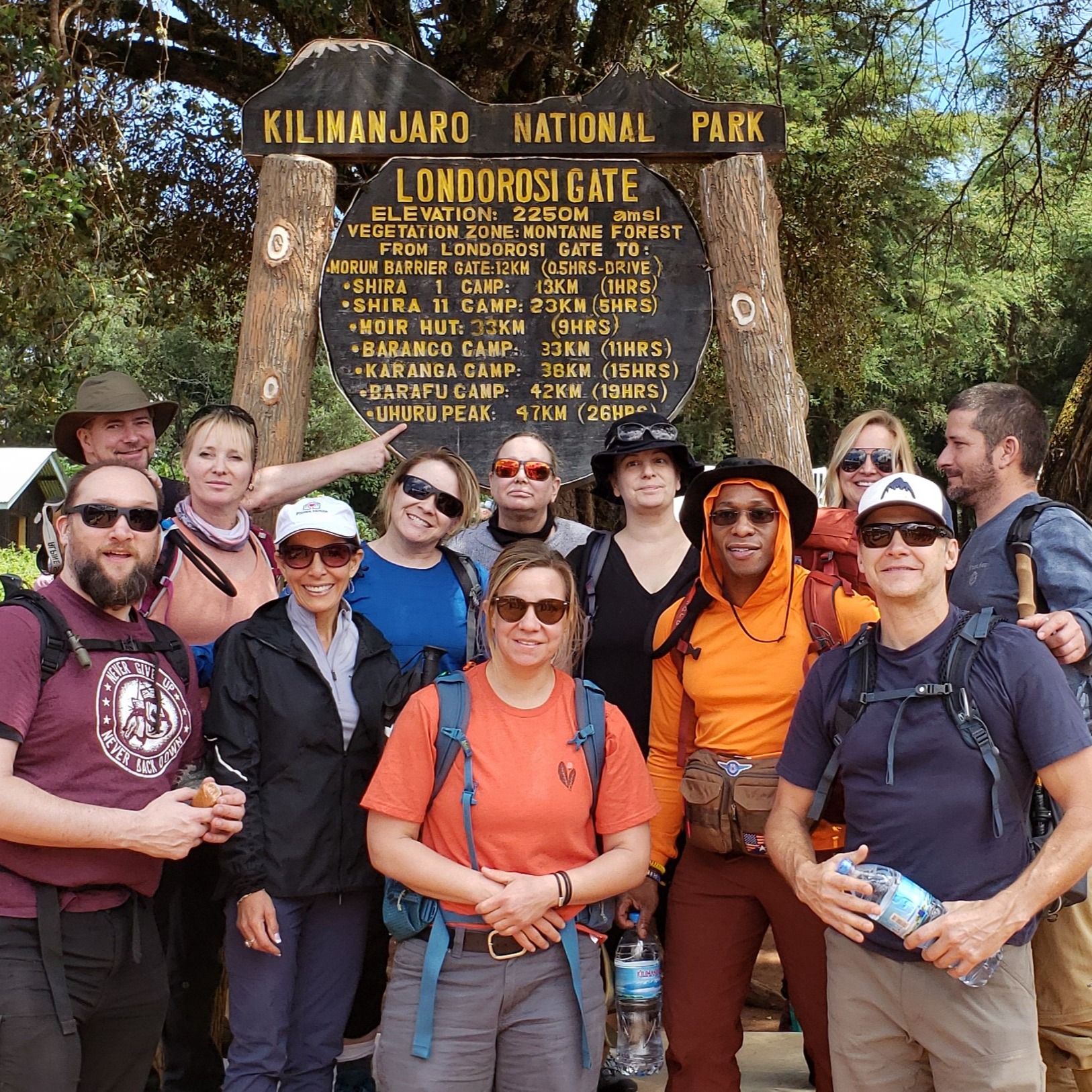
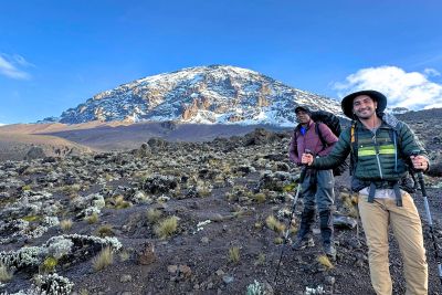
The start of the Lemosho route trek!
Day 2: Mti Mkubwa to Shira 1 Camp
- Elevation: 2,895 m to 3,505 m
- Distance: 8 km / 5 miles
- Hiking time: 5-6 hours
- Habitat: Moorland
After an early morning breakfast, you begin your ascent out of the rainforest and into the heather and moorland zone. You cross many streams and walk over a plateau that leads to Shira 2 Camp. At this campsite, you have a spectacular view of the Western Breach, which is a gap formed by lava flow. You can also see glaciers. You hike for about five to six hours in total today.
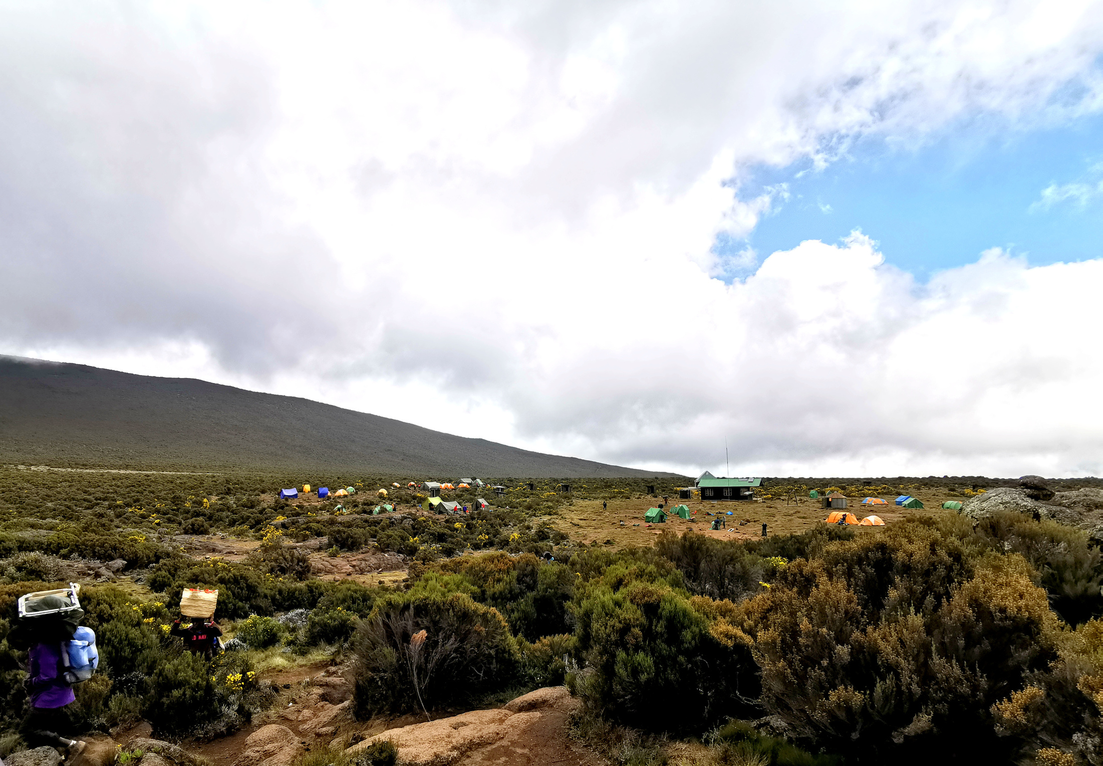
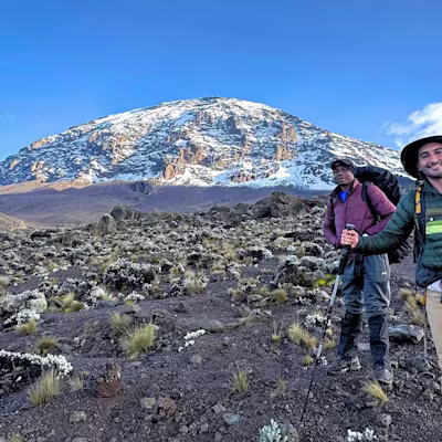
Approaching Shira 1 Camp
Day 3: Shira 1 Camp to Moir Hut
- Elevation: 3,505 m to 4,206 m
- Distance: 6 km / 4 miles
- Hiking time: 6-7 hours
- Habitat: Moorland
Today, you walk along the Shira Plateau, which offers a fantastic view of the Western Breach. This is where lava broke through the outer rim of Kibo Peak. The vegetation is fascinating, and includes giant lobelias and giant groundsels, which are endemic to Kilimanjaro.

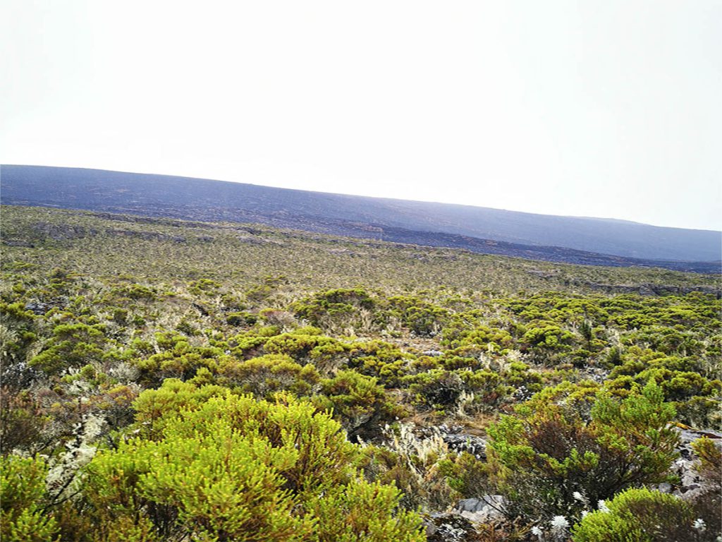
The moorland of Kilimanjaro is many people's favourite zone, as it's so unusual
Day 4: Moir Hut to Lava Tower to Barranco Camp
Today's trek includes a chance to 'climb high, sleep low', which is something that works wonders for acclimatisation (acclimation), which refers to the body's ability to adapt without too much strain to a much higher elevation. So today's hike can be broken into two parts: the climb up to Lava Tower, followed by the descent to Barranco Camp.
On top of this feature of today's hike, you actually sleep lower tonight than you did on the previous night, so you can expect even better acclimatisation to take place.
Part 1 | Moir Hut to Lava Tower
- Elevation: 4,206 m to 4,630 m
- Distance: 8 km / 5 miles
- Hiking time: 4-6 hours
- Habitat: Moorland
Today, you hike up to an impressive rock formation called Lava Tower at 4,630 m (15,419 ft). It takes four to six hours to get there and is a true highlight of the Lemosho trail.
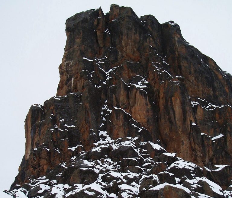
Lava Tower covered in snow
Part 2 | Lava Tower to Barranco Camp
- Elevation: 4,630 m to 3,976 m
- Distance: 3 km / 2 miles
- Hiking time: 2-3 hours
- Habitat: Moorland
After lunch at Lava Tower, you head down to Barranco Camp. The walk takes about two to three hours. The camp is located in a valley below the Western Breach and Barranco Wall.
Barranco Camp and Barranco Wall
Day 5: Barranco Camp to Karanga Camp
- Elevation: 3,976 m to 3,995 m
- Distance: 5 km / 3 miles
- Hiking time: 4-5 hours
- Habitat: Alpine Desert
Today's hike is four to five hours and is important for your acclimatisation. After an early morning breakfast, it’s time for you to conquer the great Barranco Wall, which is a steep wall of rock. Although it may look intimidating at first, trekkers usually say it turns out to be easier than they anticipated. At the top of the wall, you are above the clouds and enjoy superb views of the southern ice fields and the summit. The trail then winds up and down until you arrive at Karanga Camp.

Climbers tackling the famous Barranco Wall
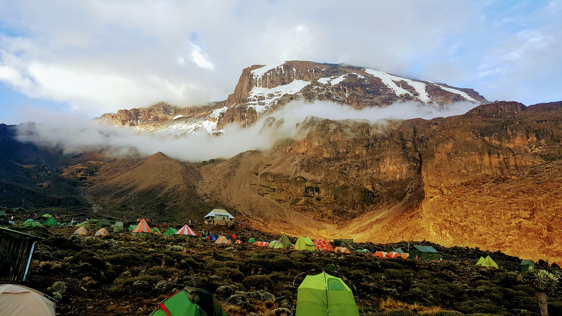
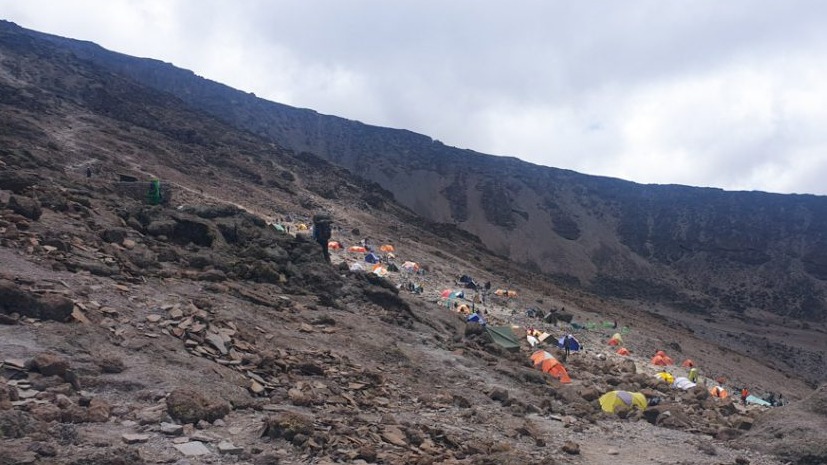
Day 6: Karanga to Barafu Camp
- Elevation: 3,995 m to 4,673 m
- Distance: 4 km / 2 miles
- Hiking time: 3 hours
- Habitat: Alpine desert
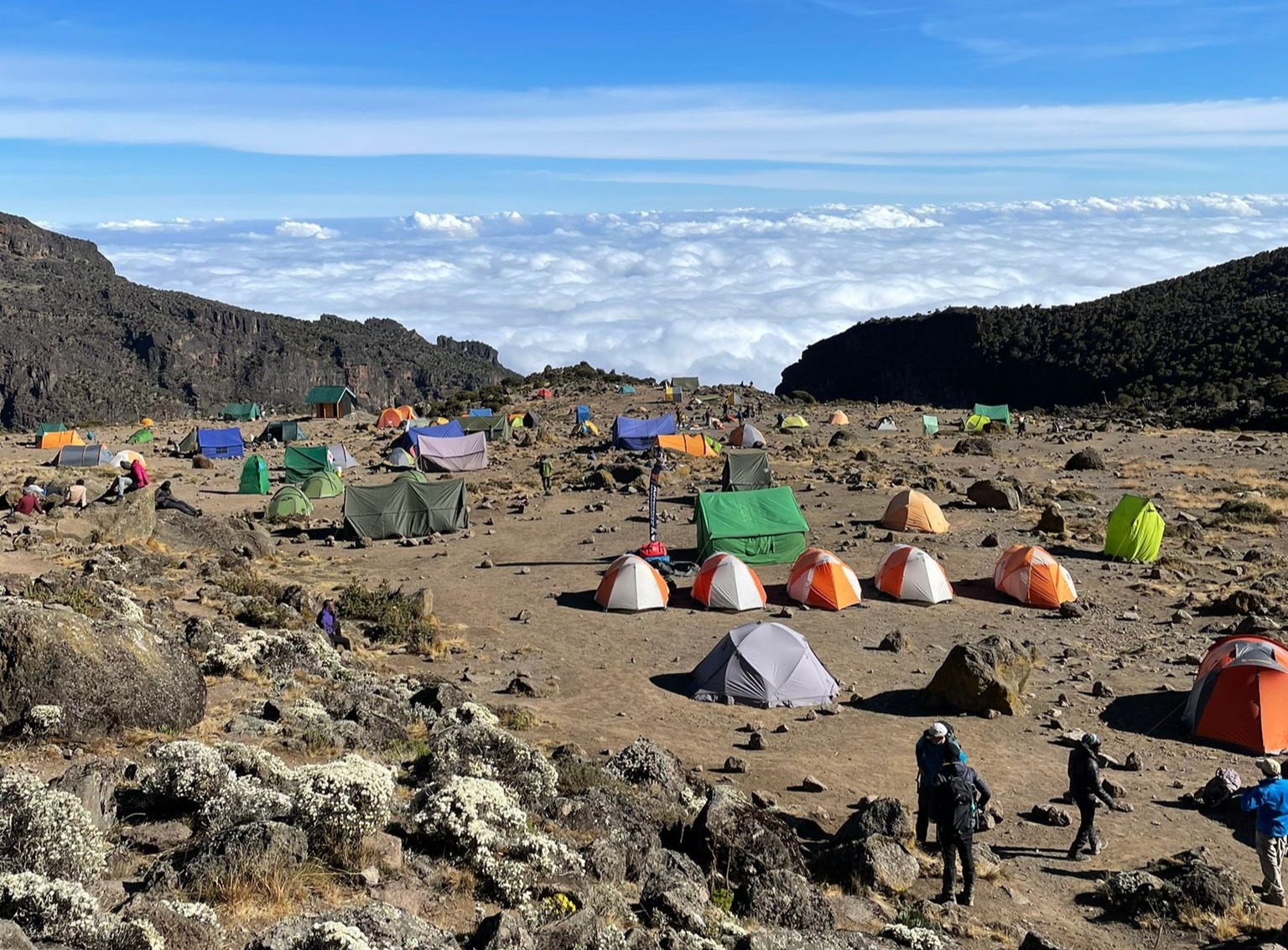
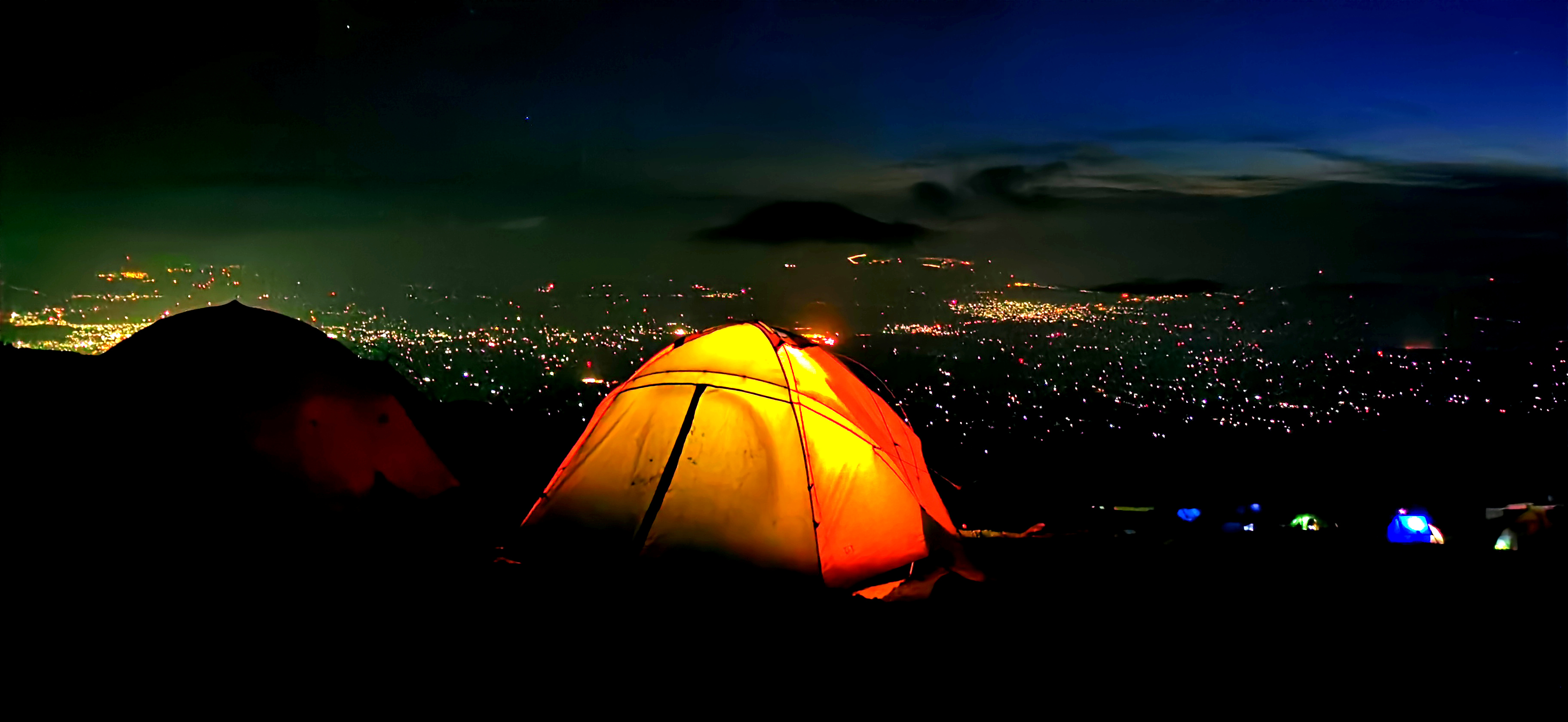
It’s getting real! You’re now very close to the summit and have some amazing views of the mountain during your climb of three hours to reach Barafu Camp. This campsite sits at 4,600 m (15,091 ft) above sea level. You go to bed early tonight, as tomorrow's summit hike starts in the dark. This is partly to enjoy the sunrise from up high, and partly because of the long hours of trekking required.
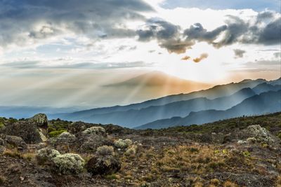
The scenery is dry and barren near the summit
Day 7: Barafu Camp to Uhuru Peak to Mweka Camp
Today is summit day! One final push to victory. The day's trek consists of two parts: the climb from Barafu Camp to Uhuru Peak, the tallest spot on Kilimanjaro, followed by the descent to Mweka Camp.
Part 1 | Barafu Camp to Uhuru Peak
- Elevation: 4,673 m to 5,895 m
- Distance: 5 km / 3 miles
- Hiking time: 6-8 hours
- Habitat: Arctic
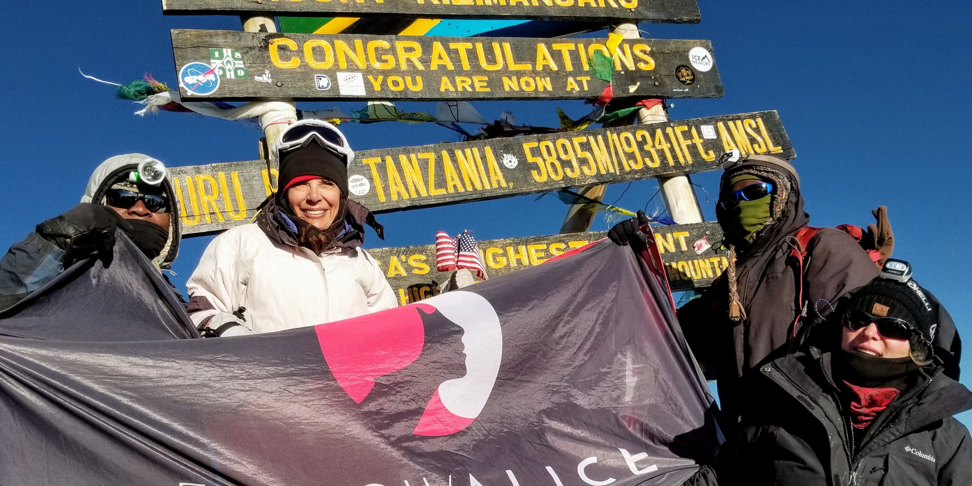
You are woken up around midnight to get ready for your summit attempt. This is the moment to dig deep mentally and physically to try to reach the tippy-top of Africa. The route heads northwest into the night. After about six to seven hours of trekking, you reach Stella Point on the crater rim. You then continue for another hour or so on a sometimes snow-covered trail to reach Uhuru Peak at 5,895 m (19,341 ft) above sea level. You did it!
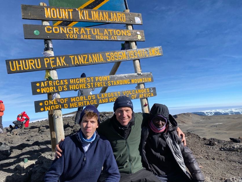
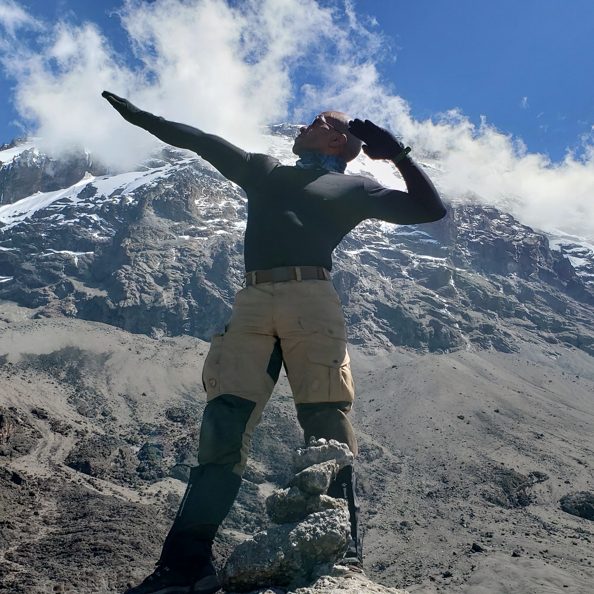
Reaching Uhuru Peak is an amazing, boast-worthy achievement!
Part 2 | Uhuru Peak to Mweka Camp
- Elevation: 5,895 m to 3,068 m
- Distance: 12 km / 7 miles
- Hiking time: 6-8 hours
Having reached the summit, you descend to Mweka Camp for the night. Having hiked for about 12 to 16 hours, you fall asleep immediately, trust us!
A beautiful view from the Mweka route
Day 8: Mweka Camp to Mweka Gate
- Elevation: 3,068 m to 1,640 m
- Distance: 10 km / 6 miles
- Hiking time: 3 hours
- Habitat: Forest
Today, you do the last bit of hiking down to the foot of the mountain, where your driver is waiting for you. Achievement of a lifetime: check!
You descend through a different part of the rainforest than what you hiked on the ascent
Our opinion of the Lemosho route
At Follow Alice, we love the Lemosho route. It's one of our two favourite routes because you get to experience a bit of everything. We particularly love the rather untouched, wild start to the trail, which takes place in the beautiful rainforest band. And we like that the ascent and descent routes are different and take place on opposite sides of the mountain.
All of this beauty goes hand in hand with the fact that the chances of summiting Kilimanjaro are very high among trekkers using the eight-day Lemosho route – always a plus!
The Lemosho therefore, ticks all of the boxes when it comes to choosing a good Kilimanjaro route.
Camping above the clouds on the Lemosho route
Route highlights
✓ Good route for proper acclimatisation
✓ High summit success rate
✓ Beautiful scenery
✓ Varied terrain
Considerations
- The forest section can be muddy in the wet season
- It can be busy in peak season
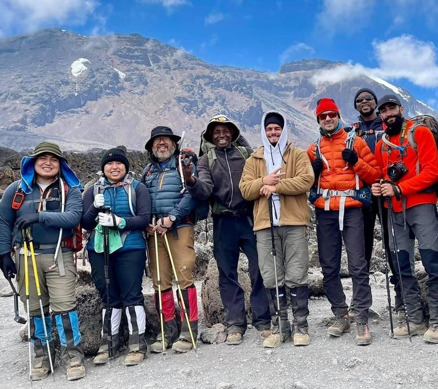
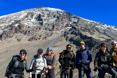
Group shot in the alpine moorland section of the Lemosho
What is the scenery like on the Lemosho route?
The Lemosho route is known for being one of the most beautiful Kilimanjaro routes.
You walk through a lush rainforest on the first couple of days. Spotting large wildlife, like antelopes, is not very common, but possible!
Then, when you climb above the rainforest, the route also gives you the experience of hiking across Shira Plateau, which is one of the largest high-altitude plateaus in the world. This plateau affords you fantastic views of the dramatic rock buttress known as Shira Cathedral. The vegetation of this moorland band is incredibly striking and beautiful, and includes unusual species like giant lobelia and giant groundsel.
Rainforest at the start of the Lemosho route
The Lemosho route also stops at campsites that offer some of the best sunrises and sunsets on Kilimanjaro.
Finally, because you descend along the Mweka route, which runs down the southeast slope of Kilimanjaro, you get to enjoy wholly different (and also very beautiful) views on your way down the mountain.
How hard is the Lemosho route?
No Kilimanjaro climb is easy. You need to be fit to manage any route up Kilimanjaro. If you'd like to learn more about this topic, please read What is the best training for Kilimanjaro?
That said, the Lemosho route is 'easier' than some of the other routes. For starters, it's not as short and steep as certain other routes like the Umbwe. Yet it's not the easiest – the nine-day Northern Circuit offers the most gradual ascent trail.
Steepness aside, the Lemosho is one of the best Kilimanjaro routes because it gives the body time to acclimatise well, particularly on the eight-day itinerary. Not only does it do this by not following a path that's too steep, but also by having a day where you climb to an all-new high before dropping back down a bit in elevation for the night.
For the two reasons just discussed, the Lemosho route has one of the best summit success rates of all of the routes up Kilimanjaro. Only the Northern Circuit sees more of its trekkers reach the summit than does the eight-day Lemosho!
Reaching the summit of Kilimanjaro is an absolutely incredible achievement
How busy is the Lemosho route?
The Lemosho route is generally quite busy, as many folks do, naturally, want to climb the most scenic route up the mountain! The first couple of days through the beautiful rainforest section are relatively quiet, however. It's when you join the Machame route on Day 4 near Lava Tower that the crowds can get a little bigger in peak season.
{{leadmagnet-one}}
What does the route cost?
As of June 2024, Follow Alice offers the Lemosho route as an eight-day group or private climb for US$2,890 per person sharing. It will cost a little more if you request your own tent. Please note that the fee includes eight days on the mountain as well as one night on either side of the trek at a beautiful lodge in the nearby city of Moshi. For a full list of inclusions in this price, please look at our Lemosho route package.
You can also learn more about the cost of a Kilimanjaro trek in general in How much does it cost to climb Kilimanjaro?
We climbed Kilimanjaro via the Lemosho route with Follow Alice and had a great time! We were a small group that got along really well and felt greatly taken care of by the crew! The guides made us feel safe at all times.
– Christoph
Accommodation on the Lemosho route comes with epic views!
Keen to explore more of Tanzania?
If you want to add a little adventure to the end of your Kilimanjaro climb, we recommend going on a Tanzania safari – you won't find a better African safari! Or hop over the border into Uganda to trek with mountain gorillas.
Alternatively, if you've limited time and budget, why not do one or two extra activities in the Kilimanjaro region, like visit a Maasai village, go coffee tasting at a local coffee farm, or relax in Kikuletwa Hot Springs??

There are many fun, local activities you can tag onto the end of your Kili climb