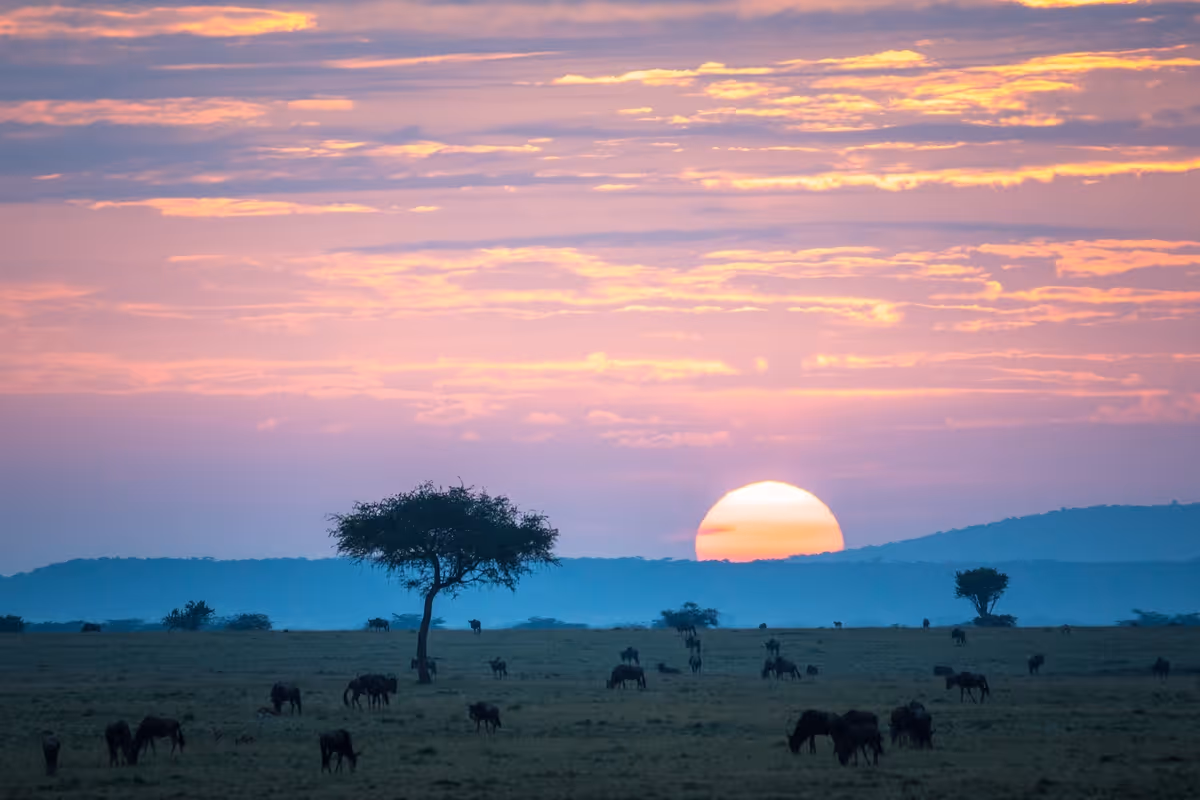


There is a moment near the top of Mount Sabyinyo where the trail narrows to a ridge barely wide enough to plant both your feet. To your left is Rwanda, to your right is the Democratic Republic of Congo and right where you are standing is Uganda. Imagine standing in three countries after summiting the mountain; it's a moment you will never forget.
When I talked to our local Follow Alice leader, Jenny Herrmann, who is based in Uganda, her face lit up as she shared this fascinating fact. I was honestly astonished; it’s not something you hear often. Mount Sabyinyo is truly unique, as its summit serves as the precise intersection of three international borders, marking the exact meeting point of Uganda, Rwanda, and the Democratic Republic of the Congo. Known as a “three-country” peak, it offers a rewarding trek through forest and along narrow ridges, where hikers can quite literally stand in all three nations at once.
If you are already planning a gorilla trekking trip to Uganda or a Rwanda volcano tour, hiking Mount Sabyinyo is the kind of addition that turns a great trip into a story you will still be telling years from now. This article will cover everything you need to know before you lace up your boots: the trail, the difficulty, the permits, the logistics and what it actually feels like to stand in three countries at the same time.
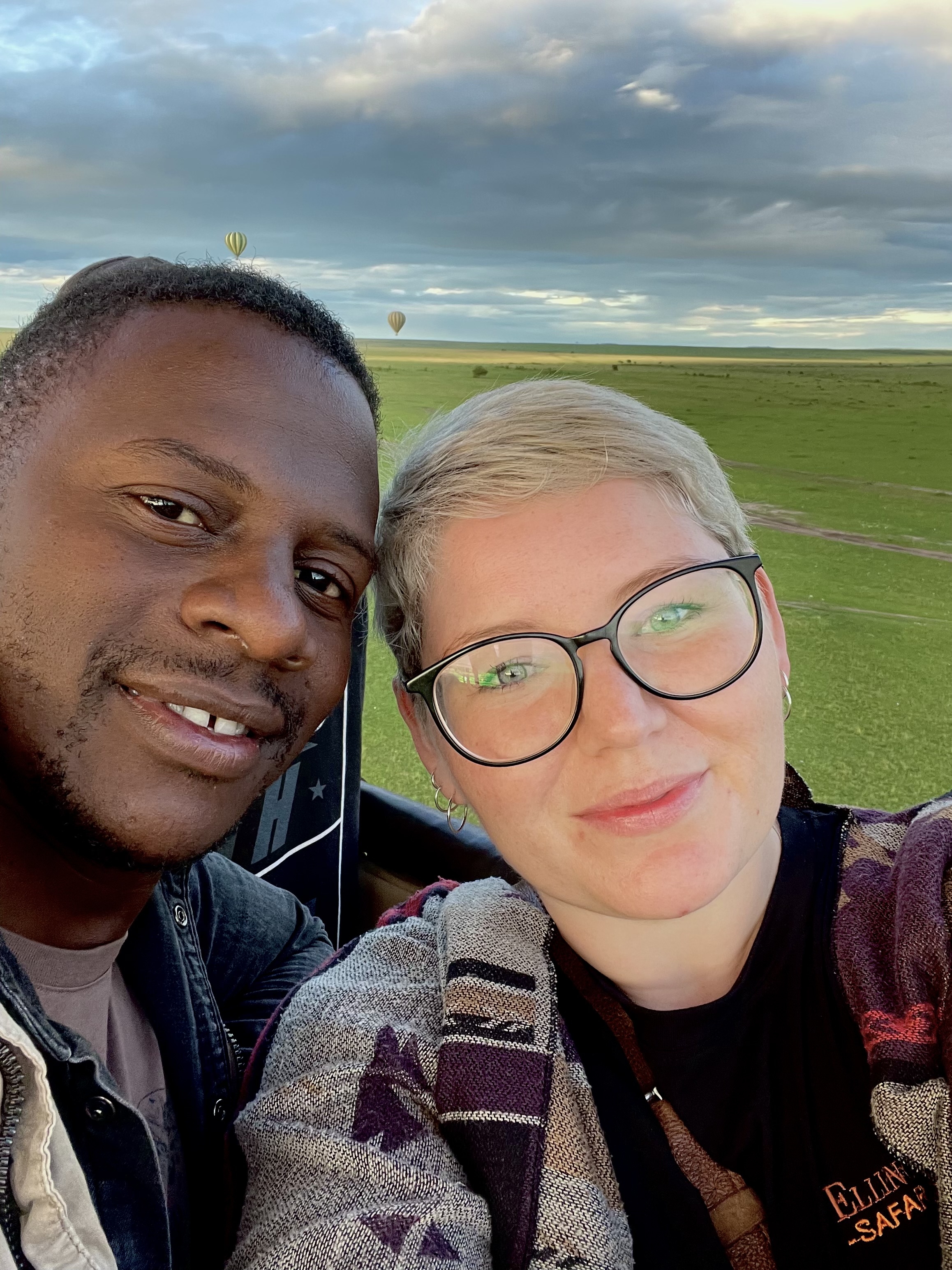
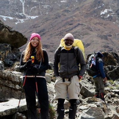
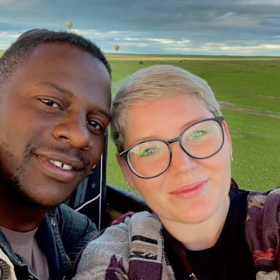
Jenny and Shaun, Uganda local leaders for Follow Alice.
Learn more: Gorilla trekking in Uganda vs Rwanda – which is better?
What is Mount Sabyinyo?
Mount Sabyinyo is the oldest of the eight Virunga volcanoes, positioned at the extraordinary triple border where Uganda, Rwanda and the Democratic Republic of Congo meet. The name translates roughly as 'old man's teeth' in the local Kinyarwanda language, a reference to the mountain's jagged, eroded peaks that rise from the surrounding forest like a worn-down jaw.
The Sabyinyo volcano stands at 3,669 metres above sea level. It is not the tallest in the Virunga range; that distinction belongs to Karisimbi at 4,507 metres, but it is arguably the most dramatic to climb. The ascent is steep, the upper ridges are exposed, and the trail will demand your full attention. What it offers in return is often referred to as the only place in the world where you can stand in three countries simultaneously at the summit.
The Mount Sabyinyo hike begins on the Uganda side in Mgahinga Gorilla National Park, one of the country's smallest and least visited national parks. Mgahinga is also one of only two places in Uganda where you can track mountain gorillas, which makes it a natural pairing for travellers who want to combine a gorilla trek with a volcano summit in a single itinerary.

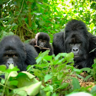
The mountain gorilla is an endangered great ape of the African montane forests, found in Mgahinga Gorilla National Park, Uganda.
Learn more: Top 20 things to do in Uganda – the definitive list!
What to expect on the Mount Sabyinyo hike
The Sabyinyo volcano hike is a full day out. The round trip covers approximately 14 kilometres and takes between seven and nine hours, depending on your pace and how long you stay at the top. You start at Ntebeko Gate inside Mgahinga, where you will meet your guide, collect your ranger, and, if you want to make things easier, hire a porter.
The trail climbs through several distinct vegetation zones. You begin in an open meadow, move into dense bamboo forest and then into hagenia woodland draped with old man's beard lichen before emerging onto the open moorland of the upper mountain. Each zone feels entirely different, and the changing landscape is one of the pleasures of the climb.
The trail breaks into three peaks. Peaks one and two are demanding but are manageable. The section between peaks two and three is where Mount Sabyinyo earns its reputation. A series of near-vertical bamboo ladders and fixed ropes takes you up cliff faces that would be completely impassable without them. The ridge walk between the final two peaks is narrow and exposed, with steep drops on either side. It is exhilarating rather than technically dangerous, but it is not for people who struggle with heights.
Peak three is the summit. This is where you stand in three countries at the same time, with Uganda, Rwanda and the DRC meeting beneath your boots. Most hikers spend 20 to 30 minutes at the top before beginning the long descent.

Scenic view of Mount Gahinga and Mount Sabyinyo.
{{leadmagnet-one}}
How difficult is the Mount Sabyinyo hike?
Hiking Mount Sabyinyo is the most physically demanding of the volcano hikes accessible from Mgahinga Gorilla National Park, and it deserves to be treated with respect. The total elevation gain from the park gate sits at around 1,000 metres, the bamboo ladders on the upper trail are steep and awkward, and the descent puts significant strain on the knees.
You do not need to be a mountaineer or a competitive athlete, but you do need a solid base of fitness. If you can comfortably walk for eight hours with sustained uphill sections, you will manage the hike. If you have done any previous hiking at altitude, even better.
This is not a suitable hike for anyone with a significant fear of heights, and anyone with knee problems should think carefully before committing. Trekking poles are not compulsory, but by the time you are three hours into the descent, you will wish you had brought them.

Rear view of a hiker on a wooden ladder at Mount Sabyinyo in the Mgahinga Gorilla National Park in Uganda.
What it feels like to stand in three countries at Mount Sabyinyo
The three-country summit is the reason most people attempt this hike, and it delivers. After the bamboo ladders, the exposed ridges and the long slog through the upper moorland, you arrive at a narrow rocky point where the borders of Uganda, Rwanda and the Democratic Republic of Congo converge.
The views on a clear day are extraordinary. The entire Virunga chain stretches across the horizon, with the peaks of Bisoke, Muhabura, Mikeno and Karisimbi visible in a single sweep. Three countries spread out below you in every direction. Your guide will take photographs of you with your arms stretched wide and your boots planted across borders.
It might sound gimmicky when you first see it on a map, but once you’re there, it feels completely different. This is definitely one of those rare moments in travel where the place lives up entirely to what you imagined, and then a little more.

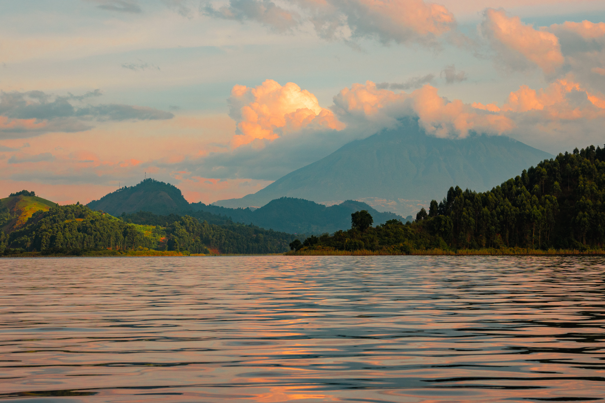
View of Mount Sabyinyo at the Volcanoes National Park in Rwanda.
Mount Sabyinyo hike permits and costs
To attempt the Mount Sabyinyo hike in Uganda, you need a hiking permit issued by the Uganda Wildlife Authority. Permits must be booked in advance and cannot be purchased at the gate on the day.
Current permit costs are as follows:
• Foreign non-residents: USD 85 per person
• Foreign residents: USD 70 per person
• East African citizens: UGX 50,000 per person
Park entry fees for Mgahinga Gorilla National Park are usually included in this price, but it's wise to book through a registered tour operator like Follow Alice. If you are combining the hike with gorilla trekking in Mgahinga, your operator can arrange both permits together, which simplifies the logistics considerably.
For travellers approaching from Rwanda via Volcanoes National Park, a separate permit through the Rwanda Development Board is required. Costs and availability differ from the Ugandan side, so it is worth clarifying which approach your itinerary uses before booking.

Hikers on the wooden ladders are seen against the mountain landscapes at Mount Sabyinyo.
{{leadmagnet-two}}
How does Sabyinyo compare to other Virunga volcano hikes?
If you are weighing up the volcanoes in the Virunga range, here is an honest comparison to help you decide where to spend your energy. Let's take a look:
- Mount Sabyinyo at 3,669 metres (12,037 ft) is the most technically engaging of the Uganda volcano hikes. The ladders, the ridge walk and the three-country summit make it unique. It is tough but achievable in a single day. Best suited to travellers who want a genuine physical challenge and an experience that no other volcano in the range can match.
- Mount Muhabura at 4,127 metres (13,540 ft) is the highest volcano accessible from the Uganda side and involves a significantly longer day, often ten hours or more. The terrain is less dramatic than Sabyinyo, but the altitude makes it harder. Best suited to hikers specifically seeking elevation.
- Mount Bisoke at 3,711 metres (12,175 ft) is approached from the Rwanda side via Volcanoes National Park. The summit holds a beautiful crater lake, and the trail is steep but more straightforward than Sabyinyo. A solid choice for travellers based in Rwanda.
- Mount Karisimbi at 4,507 metres (14,787 ft) is the highest peak in the Virunga range and requires two days, with a night camped on the mountain. It is a serious undertaking and the preserve of committed trekkers who want the full Virunga experience.
For most travellers combining a volcano hike with gorilla trekking in Uganda, Mount Sabyinyo is the standout choice. The difficulty is real, but the reward is unlike anything else on offer in the range.

Tourist filming a mountain gorilla in the bamboo forest of Volcanoes National Park, Virunga, Rwanda.
Learn more: Your complete list of what to pack for gorilla trekking
What to pack for the Mount Sabyinyo hike in Uganda
The trail passes through several climate zones, so layering is essential. The summit can be cold even on a day that feels warm at the gate. Let’s take a look:
Clothing:
- A moisture-wicking base layer.
- A warm mid-layer, such as a fleece or lightweight down jacket.
- A waterproof jacket and waterproof trousers (the bamboo forest holds moisture long after rainfall).
- Long trousers to protect against stinging nettles and dense vegetation.
- Sturdy hiking boots with ankle support are non-negotiable on this terrain.
- A warm hat and gloves for the summit.
Gear:
- Trekking poles, your knees will thank you on the descent.
- A daypack of 20 to 25 litres.
- A headlamp, as early starts are the norm.
- Sunscreen and sunglasses for the exposed upper sections.
Food and water:
- At least two litres of water per person.
- High-energy snacks such as nuts, energy bars and dried fruit.
- A packed lunch, as there is nothing to buy on the trail.
Other essentials:
- USD cash for tips for your guide and porter.
- A porter, hired at the trailhead, is genuinely worth every shilling on a trail this demanding.
Learn more: Ultimate Guide for What to Pack for a Gorilla Trek
Getting to Mgahinga Gorilla National Park
Mgahinga sits in the far southwest corner of Uganda near the town of Kisoro. It is remote, and getting there requires planning.
From Kampala: The drive takes approximately ten hours via Mbarara and Kabale. Many travellers take an overnight bus to Kabale and arrange a private vehicle or boda-boda transfer to Kisoro from there. Charter flights from Entebbe or Kampala to Kisoro Airstrip are also available and significantly cut the journey time for travellers with a tighter schedule.
From Kigali: Kisoro is roughly three to four hours by road from Kigali, making cross-border itineraries very practical. Combining Rwanda gorilla trekking with a Uganda volcano hike is an increasingly popular option for travellers with time on both sides of the border.
Accommodation: There are several lodges and guesthouses near the Mgahinga park gate, ranging from simple options in Kisoro town to mid-range lodges closer to the trailhead. Mount Gahinga Lodge is the most celebrated property in the area, with views directly towards the volcanoes.

View through trees of modern office buildings on a hill in Kigali city in Rwanda.
Learn more: What type of accommodation is there in Uganda?
Practical tips for hiking Mount Sabyinyo
Here are some tips to help you be prepared for this adventure:
- Start early: The gate opens at 7 am, and setting off as close to that time as possible gives you the best chance of a clear summit before the afternoon clouds roll in, which they almost always do in the Virungas.
- Hire a porter: The trail is demanding enough without carrying a heavy pack. Porters are hired at the trailhead; the fee is modest, and the money goes directly to the local community.
- Allow time to acclimatise: If you have travelled directly from sea level, spending a day in Kisoro before the hike is worthwhile. Altitude sickness is less common at Sabyinyo's elevation than on the higher volcanoes, but it is not impossible.
- Plan around the weather: The Virungas are one of the wettest parts of East Africa. Rain is possible at any time of year. The drier months of June to September and December to February offer the best odds of clear views, but no day on these mountains comes with guarantees.
- Pair it with gorilla trekking: Mgahinga is one of only two places in Uganda where mountain gorilla tracking takes place. Gorilla permits cost USD 700 per person. A two-day itinerary with gorilla trekking on day one and the Sabyinyo hike on day two is the most rewarding way to experience everything Mgahinga has to offer. It's important to check the costs before leaving.
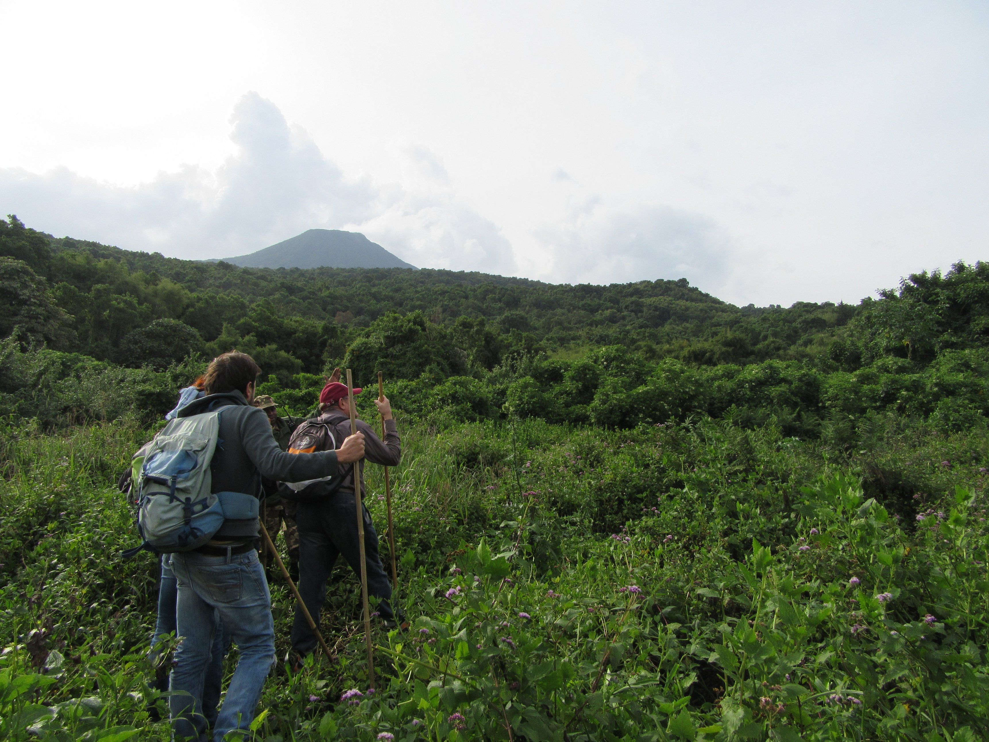
Gorilla trekkers walking through open vegetation towards the forest in Mgahinga National Park in Uganda.
Is the Mount Sabyinyo hike worth it?
Yes, without qualification. If you are already in this part of Africa for gorilla trekking and you have a spare day and functioning legs, there is no better way to spend it than on the trail to the top of Mount Sabyinyo. The hike earns its difficulty rating, and it pays back every hard-won step.
Standing at the summit of the Sabyinyo volcano with one foot in Uganda and the other crossing into Rwanda, with the Congo stretching away in front of you, is one of those rare travel moments that exceeds expectations. It is not a gimmick. It is one of the most singular things you can do on a Uganda or Rwanda trip, and it fits naturally into the kind of itinerary that most gorilla trekking visitors are already building. The hike is hard, but trust us when we say the summit is worth it. The story you tell when you get home is better still. So if you ready to add the Mount Sabyinyo hike to your Uganda or Rwanda itinerary? Follow Alice's plans for tailor-made gorilla trekking and volcano hiking trips across East Africa. Get in touch, and we will build the trip around you.