


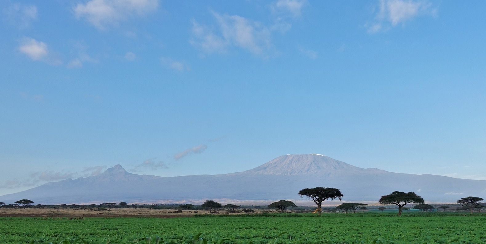
What is the height of Kilimanjaro?
The tippy top point of Mt Kilimanjaro is on the rim of its tallest crater and is called Uhuru Peak. Uhuru Peak is thought to be 5,895 m above sea level, and this is the elevation you’ll find written on the sign marking the spot. For those whose minds only compute in feet, that’s 19,431 ft above sea level.
Altitudes of Kilimanjaro's three cones
Kilimanjaro isn't a neat triangle of a mountain. Rather, it has three, spaced-out volcanic cones:
- Kibo is the highest cone and the one you summit on a Kili climb, and thus reaches 5,895 m (19,431 ft) above sea level
- Mawenzi is the second-highest cone at 5,149 m (16,893 ft)
- Shira is the lowest cone at 4,005 m (13,140 ft)

This fabulous shot by David D. Turner shows Kibo Crater (left) and Mawenzi Crater (right)
{{leadmagnet-one}}
Debate over the exact height of Uhuru Peak
The official height of Kilimanjaro's Uhuru Peak up until 1952 was 5,892 m. That figure had been assigned to the mountain by German cartographers during colonial times.
In 1952, however, British cartographers mapped the mountain and adjusted Kilimanjaro's elevation to 5,895 m. This is the figure most used when thinking and talking about Africa’s tallest mountain.
That said, we should point out that the United Nations Environment Programme claims the height of Kilimanjaro as 5,893 m. Hardly a big difference, to be sure, but there you have it.
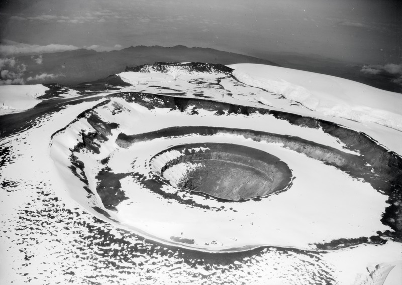
This 1930 photo of Kibo Crater was taken by Swiss aviation pioneer Walter Mittelholzer
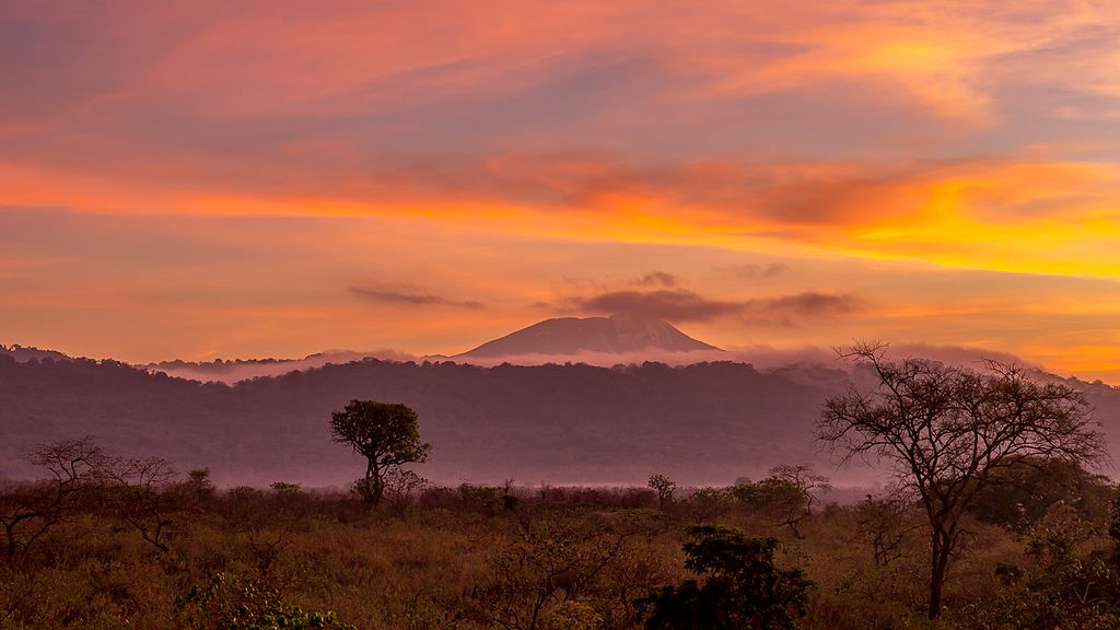
The world’s tallest free-standing mountain
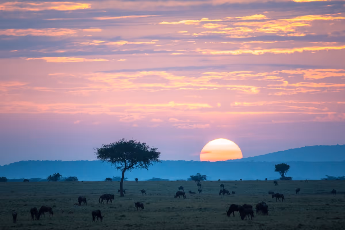
Whatever the exact height of Kilimanjaro, it’s undoubtedly the world’s tallest free-standing mountain (meaning it’s not part of a mountain range). Kilimanjaro, a volcanic mountain, rises out of the northern Tanzanian plain. Not far away is a neighbouring volcanic mountain, Mt Meru, 4,566 m (14,980 ft), also popping up out of the plain. You can see Meru when you’re high up on the southern slope of Kilimanjaro.
It's hard to comprehend the enormity of Kilimanjaro, and it's only when actually climbing it that you fully appreciate its immense scale.

View from the campsite on Kilimanjaro of Mt Meru
Kili is #4 of the Seven Summits
As you can see in the infographic below, Kilimanjaro is the fourth highest of the Seven Summits (the tallest mountains of each continent). Perhaps because it's not part of a large snowy range, many folks don't realise just how tall Kilimanjaro is. But as you can see, it's far taller than any mountain in Europe.
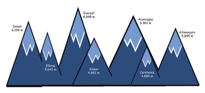
Infographic of the world's Seven Summits
Prominence of Kilimanjaro
The prominence of Kilimanjaro is about 4,900 m (16,100 ft). What this means is that the base of Kilimanjaro is around 1,000 m above sea level, and Kilimanjaro itself rises about 4,900 m from its plateau base.
As you can see in the map below, Kilimanjaro is far from the Indian Ocean coastline. So it's unsurprising that it's prominence is not its full altitude.
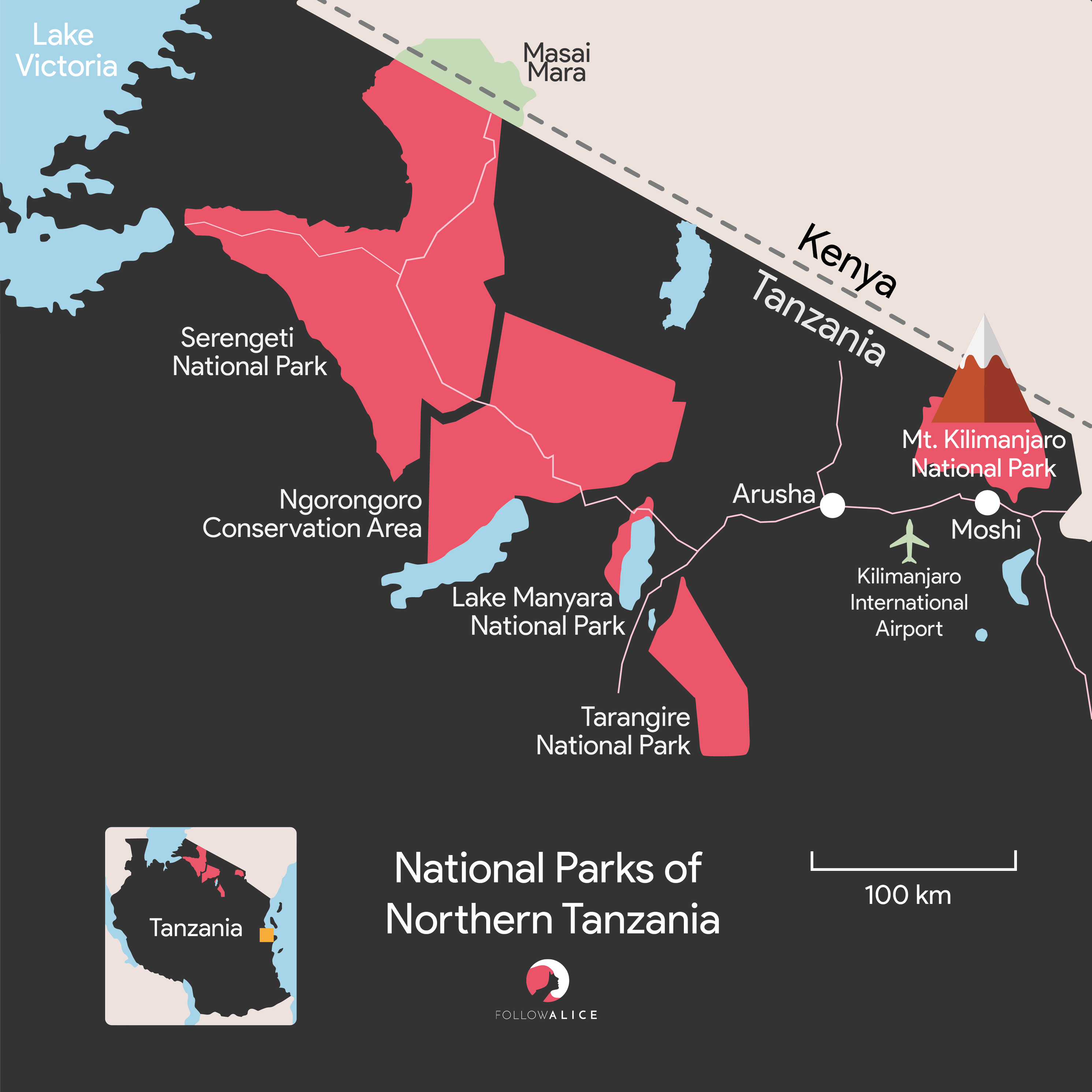
Map of northern Tanzania with Kilimanjaro marked
Altitude gain on a Kilimanjaro climb
While Kilimanjaro is 5,895 m above sea level, you don't, of course, climb all that elevation, since you don't begin your climb at sea level. As mentioned above, the prominence of Kilimanjaro is about 4,900 m. But none of the seven Kilimanjaro routes start at the base of the mountain. Instead, they all start within or just above the forest band of the mountain, which is around 1,800 m to 3,000 m above sea level.
Trailhead elevations of the seven Kilimanjaro routes
Here are the altitudes of the different Kilimanjaro trailheads:
- Northern Circuit: 2,100 m (6,890 ft) at Lemosho Gate
- Lemosho route: 2,100 m (6,890 ft) at Lemosho Gate
- Shira route: 3,414 m (11,200 ft) at Morum Barrier
- Machame route: 1,640 m (5,380 ft) at Machame Gate
- Marangu route: 1,843 m (6,047 ft) at Marangu Gate
- Rongai route: 1,950 m (6,398 ft) at Rongai Gate
- Umbwe route: 1,800 m (5,906 ft) at Umbwe Gate
As you can see, you start at a very high altitude on the Shira route, while the lowest starting altitude belongs to the Machame route.
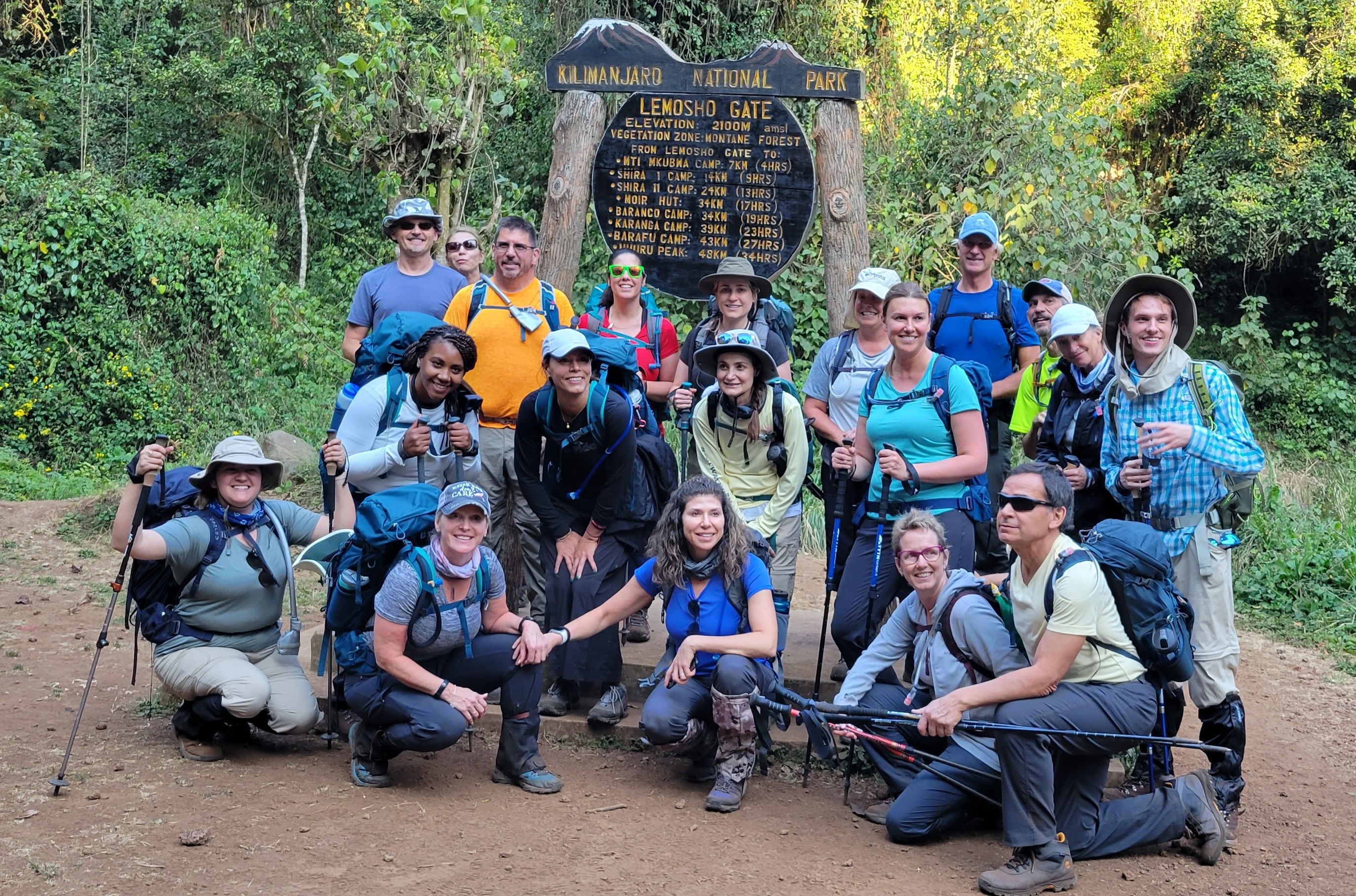
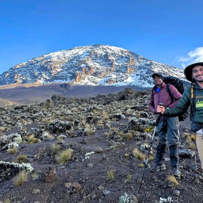
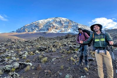
This pic by Lucy shows her group looking fresh-faced at Lemosho Gate
Altitude gains of the seven Kilimanjaro routes
So what is the altitude or elevation gain of each of the routes? Here are the numbers:
- Northern Circuit: 3,795 m (12,541 ft)
- Lemosho route: 3,795 m (12,541 ft)
- Shira route: 2,481 m (8,231 ft)
- Machame route: 4,255 m (14,051 ft)
- Marangu route: 4,052 m (13,384 ft)
- Rongai route: 3,945 m (13,033 ft)
- Umbwe route: 4,095 m (13,435 ft)
The altitude gain in climbing the Shira will therefore be much lower than the altitude gain that comes with climbing the Machame. This might sound at first like a boon (I don't have to climb so far!), but as we discuss in Kilimanjaro altitude sickness, you don't want to ascend to high altitude too quickly.
A note on elevation vs ascent
We've just looked at your elevation gain when you climb Kilimanjaro. Another name for it is altitude difference.
Elevation (or altitude difference) is different from ascent. Ascent is the total vertical distance of every step upwards that you take on a climb. Given that trails up mountains naturally undulate, your ascent on a climb will be more than your elevation gain.
We don't have ascent figures for the various Kilimanjaro routes. But it's worth pointing out that the really good routes – those that allow you to 'climb high, sleep low' – have noticeably higher ascent values than elevation gains. (You can learn more about the 'climb high, sleep low' strategy in The best acclimatisation for climbing Kilimanjaro.)
After a few days of hiking along the Lemosho and Machame routes, for example, you descend over 600 m from Lava Tower to reach Barranco Camp. This means the next day you'll be 're-climbing' those 600 metres. Most of the dips on the various routes are not, however, as dramatic as this.
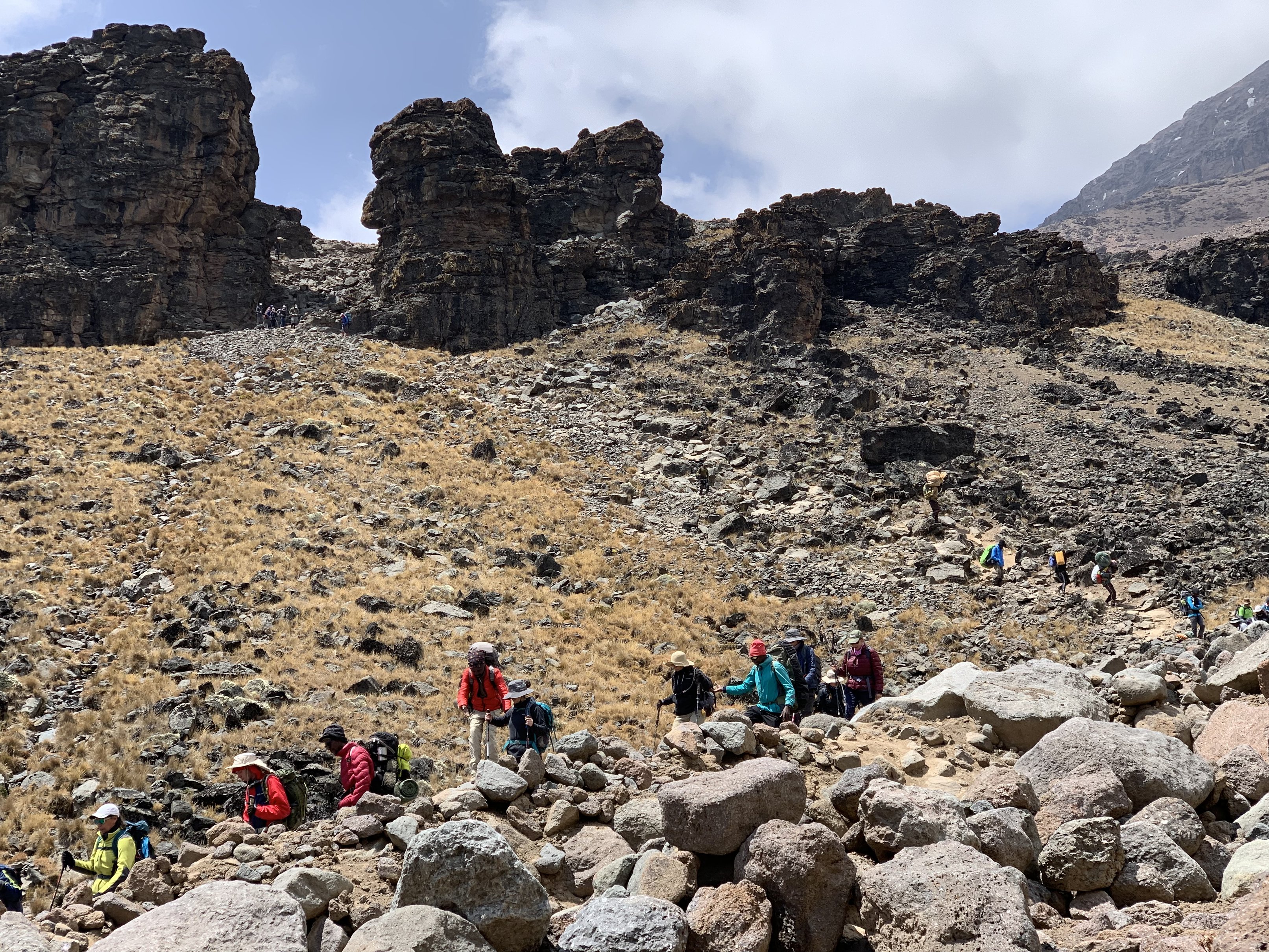
This snap by Jasmin shows her climb group descending to Barranco Camp
{{leadmagnet-two}}
Kilimanjaro vs EBC elevation gain
To end, we thought you might find it interesting to hear how Kilimanjaro's elevation gain compares with that of Everest Base Camp, since we compare the two treks in our popular post Kilimanjaro vs Everest Base Camp: which is harder?
On the Everest Base Camp trek, you start hiking at the town of Lukla, which is 2,860 m (9,383 ft) above sea level. And the highest altitude you reach on that trek is not actually Everest Base Camp itself (5,364 m / 17,598 ft), but Kala Patthar (5,644 m / 18,517 ft), the hill you climb for an unobstructed view of Everest.
So, what is the elevation gain on an Everest Base Camp trek? It's 2,784 m (9,134 ft).
That means that on all of the Kilimanjaro routes besides the Shira route, you achieve an elevation gain of at least a thousand metres! So there's a little fact for you that will change your life in no way whatsoever, but is kinda interesting to know, don't you think? 🤓