


The Nar–Phu and Annapurna Circuit trek offers trekkers a mix of high-altitude adventure and rich cultural experiences. Combining the classic Annapurna Circuit with the remote Nar–Phu Valley Trek, this route takes you through high Himalayan passes, hidden villages, and landscapes that range from beautiful subtropical forests to bare alpine deserts.
The Nar–Phu Valley Trek remains one of Nepal’s most untouched Himalayan regions. Opened to foreigners in 2003, it still requires a special Restricted Area Permit to preserve its fragile environment and culture. In contrast, the Annapurna Circuit trek is globally renowned, offering a complete Himalayan experience, including the legendary Thorong La Pass, which is 5,416 m (17,770 feet). Follow Alice will take you through the full itinerary, plus key information on permits, logistics, and what to expect along the trek. For any questions or concerns, please don't hesitate to schedule a call with our team. We’re here to help!
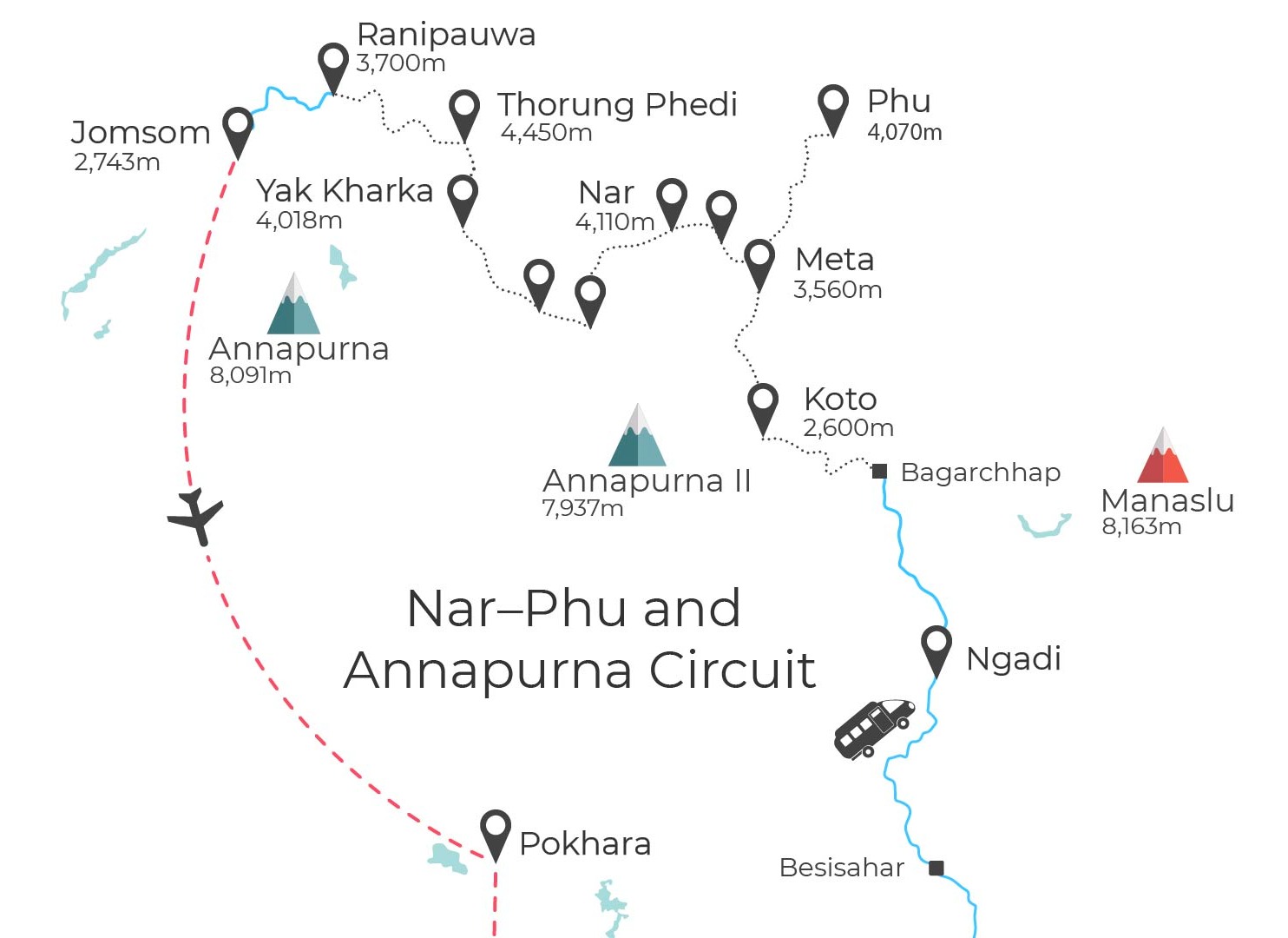
Map of the Nar-Phu Valley Trek and the Annapurna Circuit.
Learn more: Nar–Phu Trek: Explore Nepal’s Remote Hidden Valley
What is the Annapurna Circuit Trek?
If you're not sure what all the fuss is about, the Annapurna Circuit trek is a loop that circumnavigates the Annapurna Massif, one of the most spectacular mountain ranges in the world. Over 12–18 days, trekkers encounter different landscapes, including:
- Subtropical forests in the lower valleys;
- Alpine meadows and terraced farmland;
- High desert plateaus and glacial rivers.
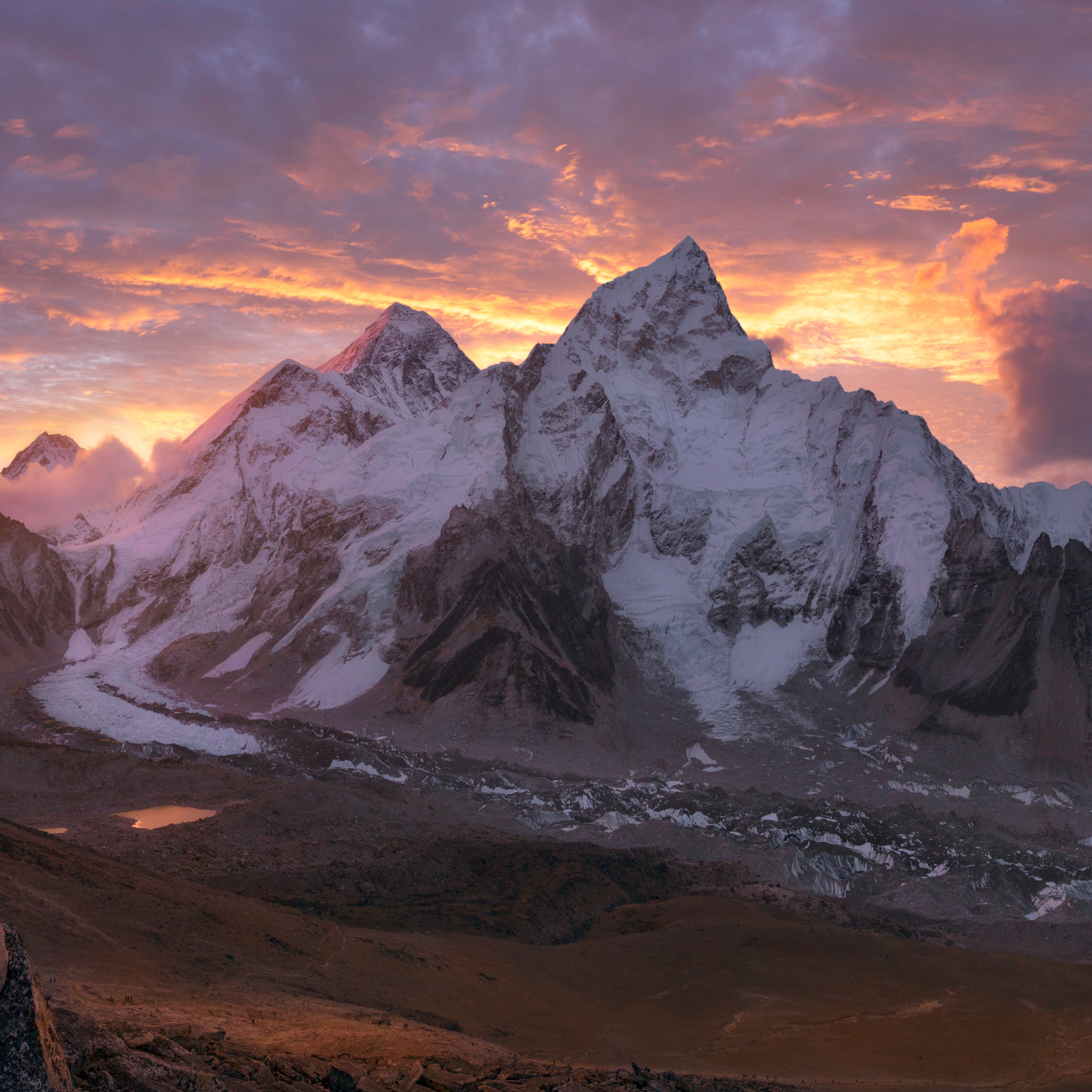
The Annapurna Circuit takes trekkers through Nepal’s largest protected region, the Annapurna Conservation Area, known for its stunning landscapes and rich cultural heritage. Along the way, hikers enjoy close-up views of peaks such as Annapurna I (8,091 m), Dhaulagiri (8,167 m), and Manaslu (8,163 m), and pass through villages that showcase a mix of Hindu and Buddhist cultures. With its combination of high-altitude scenery, remote valleys, and diverse communities, the trek is widely regarded by guides and travel writers as a “trekking wonder of the world.”
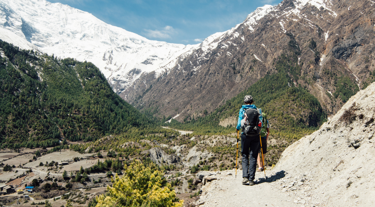
Trekker walking through the Annapurna Circuit.
Learn more: 10 tips for trekking the Annapurna Circuit
What is the Nar–Phu Valley Trek?
The Nar–Phu Valley Trek is a hidden gem north of the Annapurna Circuit, offering a blend of rugged landscapes and rich Tibetan-influenced culture. The valley is dotted with traditional villages, ancient monasteries, and terraced farmland where locals grow barley, buckwheat, and potatoes, and raise yaks and sheep.
The trail begins near Manang and enters the forested Nar–Phu “portals” via a bridge over the Marshyangdi River. From there, the scenery opens to dramatic canyons, towering rock spires, and cliffs. Along the way, trekkers pass through:
- The villages of Meta, Phu, and Nar;
- Buddhist gompas and chortens;
- Remote agricultural terraces and yak pastures.
The trek is moderately challenging, with daily hikes of five to seven hours, requiring prior hiking experience and good fitness. The route eventually rejoins the Annapurna Circuit via Kang La Pass (5,240 m) before the final approach to Thorong La Pass.
Nar–Phu Valley Trek highlights:
The Nar–Phu Valley offers a mix of everything. Here are some highlights you will expereince if you decide to hike through this landscape:
- Experience Tibetan-influenced village life and traditional farming practices;
- Walk past striking rock formations and dramatic landforms;
- Take in panoramic views of Annapurna, Manaslu, Dhaulagiri, and other Himalayan peaks;
- Navigate diverse topography, from forests to high alpine deserts
- Cross the iconic Thorong La Pass (5,416 m);
- Visit gompas, chortens, and monasteries for a spiritual and cultural experience.
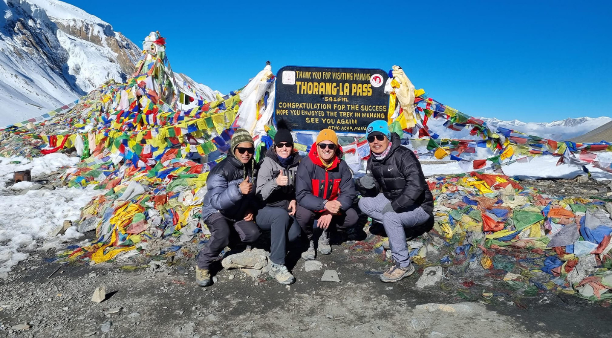
Trekkers pose for a picture at the Thorong La Pass.
{{leadmagnet-one}}
Tribhuvan International Airport
Your journey begins at Tribhuvan International Airport (KTM) in Kathmandu, Nepal’s main international gateway. Upon arrival, Follow Alice takes care of all logistics so you can begin your adventure stress-free. This includes an airport pickup and transfer to your hotel in Thamel, where you can settle in, enjoy the lively streets, and prepare for the trek ahead.
In the evening, you’ll meet your trek leader for a welcome briefing and dinner, covering the full itinerary, safety guidelines, and tips for trekking in high-altitude conditions. Follow Alice also handles all domestic transportation, trekking permits, and necessary logistics, ensuring everything is organised before you depart.
Kathmandu is also an ideal place for pre-trek acclimatisation and preparation. Use your time here to rest after your flight, explore local markets, try Nepali cuisine, and attend briefings about altitude sickness prevention and packing essentials. This ensures you start the Nar–Phu and Annapurna Circuit trek well-prepared and ready for the Himalayan adventure ahead.
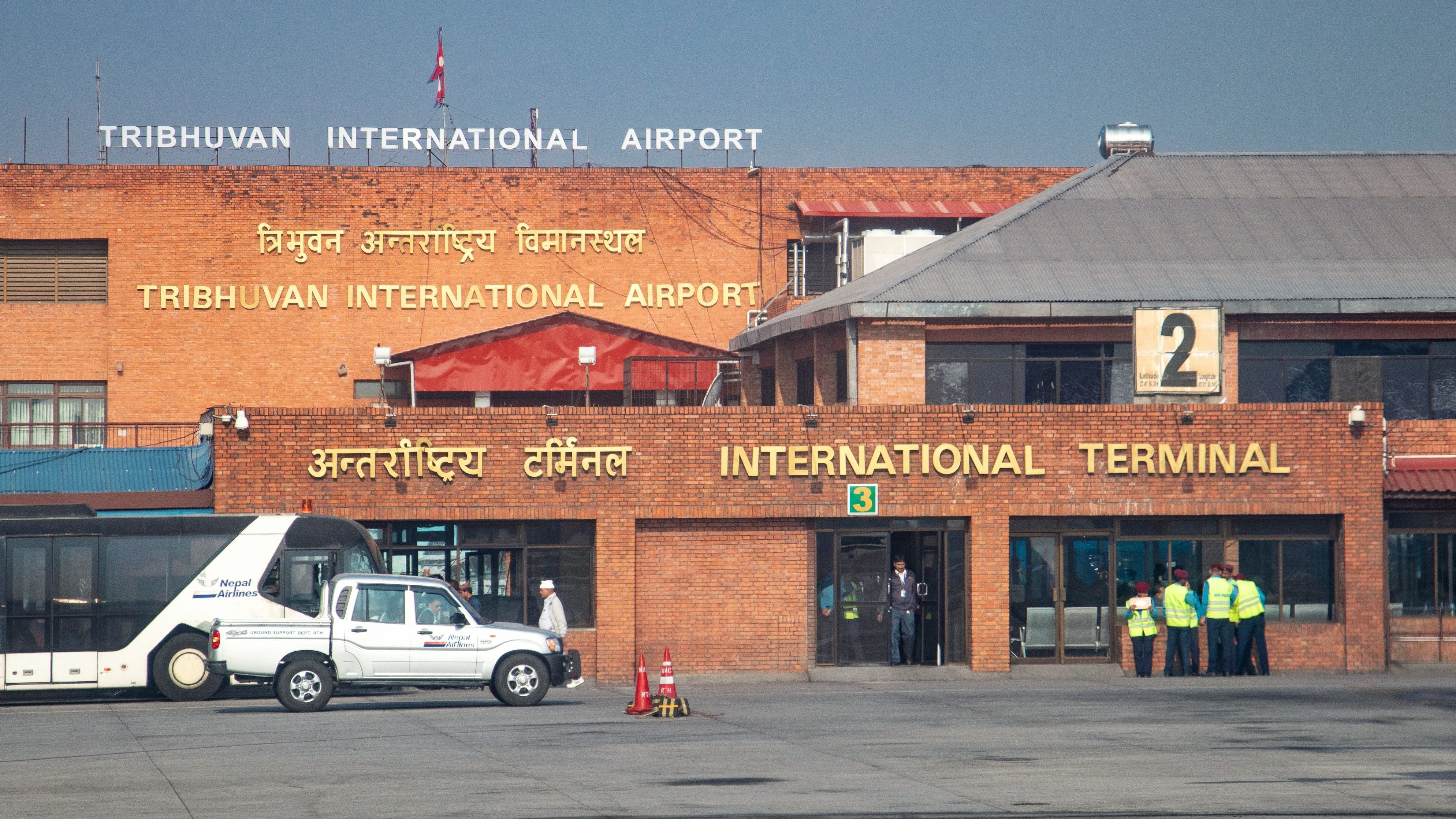
International Terminal of Tribhuvan International Airport in Kathmandu, Nepal.
Learn more: Annapurna Circuit vs Everest Base Camp
Follow Alice Nar–Phu and Annapurna Circuit Trek Itinerary
The Nar–Phu and Annapurna Circuit trek offers a unique blend of high-altitude adventure, remote Himalayan landscapes, and rich Tibetan-influenced culture. This 16-day journey takes you through hidden valleys, ancient villages, and towering peaks, combining the classic Annapurna Circuit with the less-visited Nar–Phu Valley Trek. Along the way, trekkers experience diverse terrain, ranging from subtropical forests and alpine meadows to high desert plateaus, while engaging with local communities and exploring monasteries, chortens, and traditional farmland.
Here’s the full day-by-day itinerary with Follow Alice:
Day 1: Arrival in Kathmandu
Arrive at Tribhuvan International Airport and transfer to your hotel in the busy Thamel district. In the evening, enjoy a welcome dinner with your trekking group and guide, where you’ll go over the itinerary, discuss altitude tips, and get a first taste of Nepali cuisine.
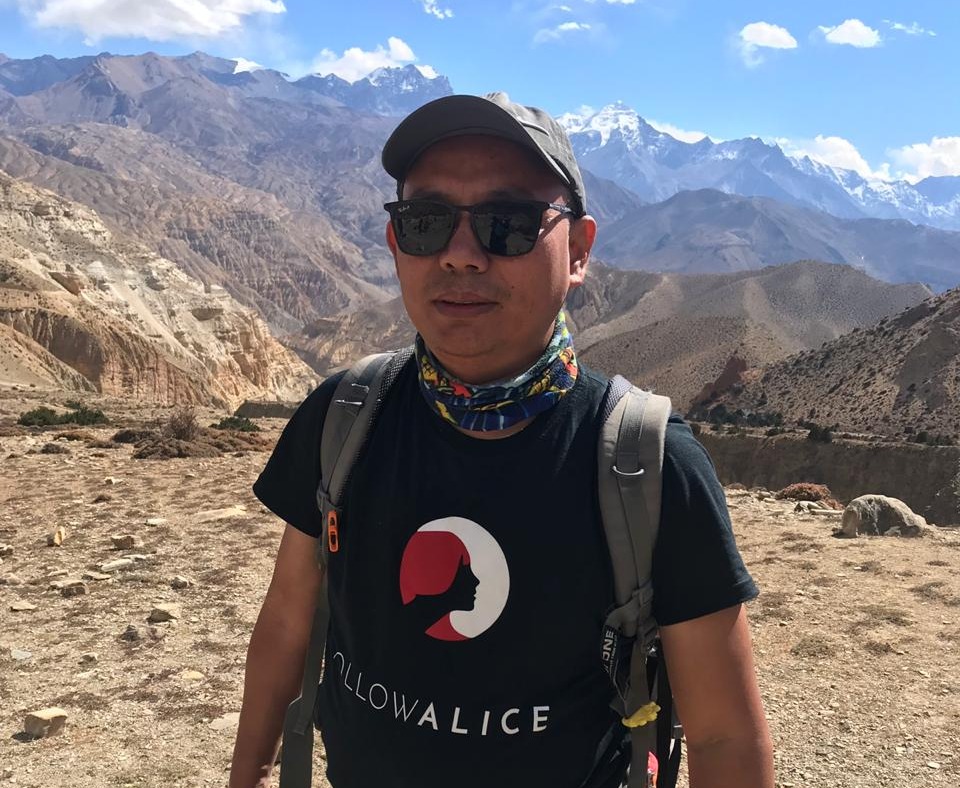
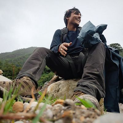
Follow Alice's guide, Sonam, navigating the stunning landscapes of Nepal.
Day 2: Drive to Ngadi
Travel west through terraced farmlands, rivers, and scenic valleys. Here we will stop for lunch in Besisahar before continuing into the mountains to Ngadi, the gateway to your trek. The journey offers your first glimpses of snow-capped peaks rising above lush greenery.

Local farmers are seen working in the fields.
Day 3: Drive to Bagarchhap and trek to Koto
Drive to Bagarchhap and begin trekking through pine and fir forests in the Manang Valley. Along the trail, admire views of Annapurna II (7,937 m) and Lamjung Himal (6,983 m). Reach Koto, a traditional village with stone houses, where the serene atmosphere sets the tone for the trek ahead.

The Manang Valley and the lazy river are seen during the Annapurna Circuit route.
Day 4: Trek to Meta
Leave the main Annapurna Circuit and enter the narrow, forested Phu Valley. You will pass ancient rock shelters and winding canyon paths to reach Meta, a small village where Tibetan-influenced culture is evident in daily life and local architecture. Yak farming and agriculture are big in Phu Valley.
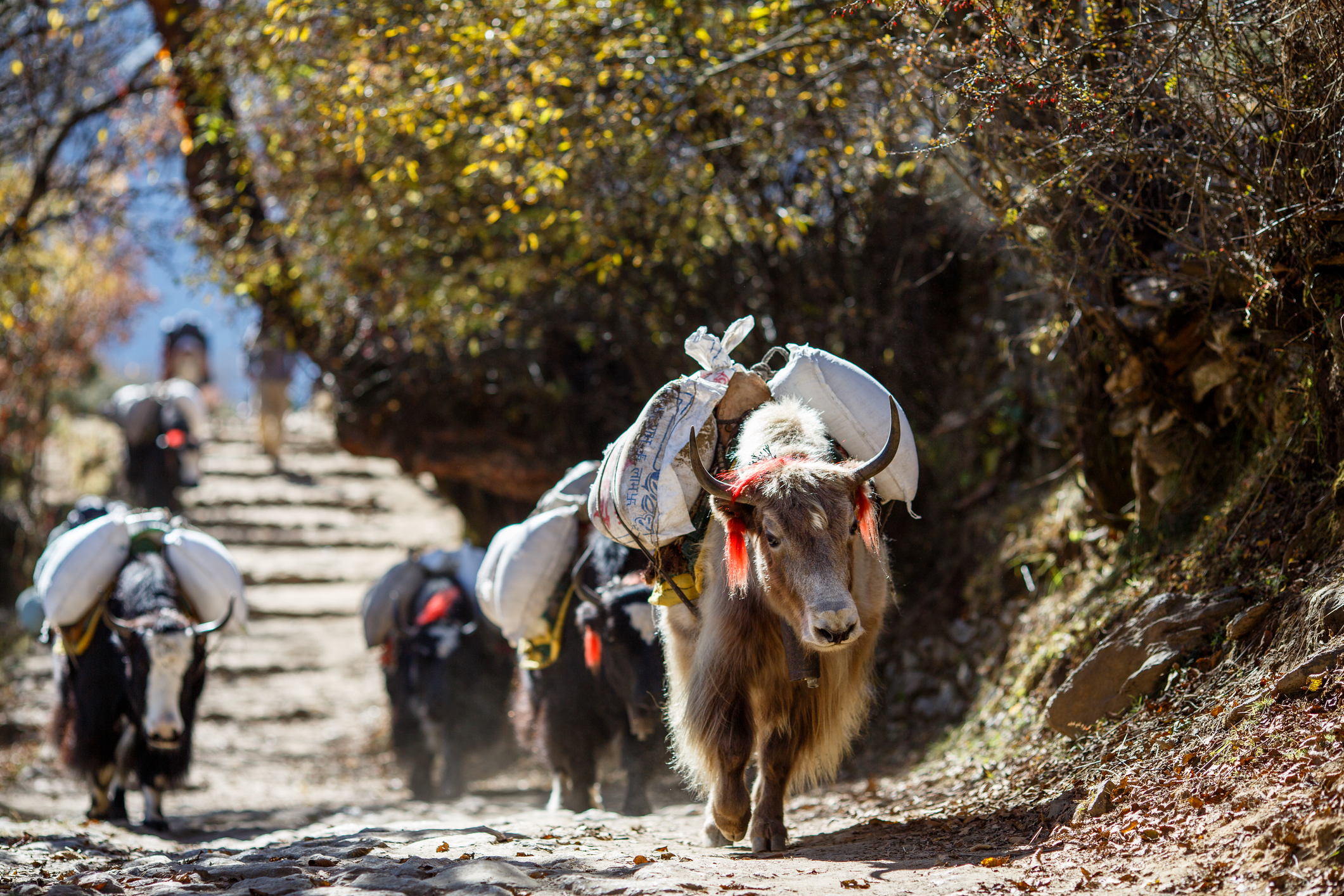
Yaks carrying a load in Nepal.
Day 5: Trek to Phu
You will continue up the Phu valley, which is narrow, and the trail steepens, with cliffside paths offering dramatic views. Stop at Kayang, a seasonal settlement for Phu residents in winter, before arriving at Phu, a picturesque village (4,070 m) tucked among towering cliffs. Experience the quiet rhythm of mountain life here.
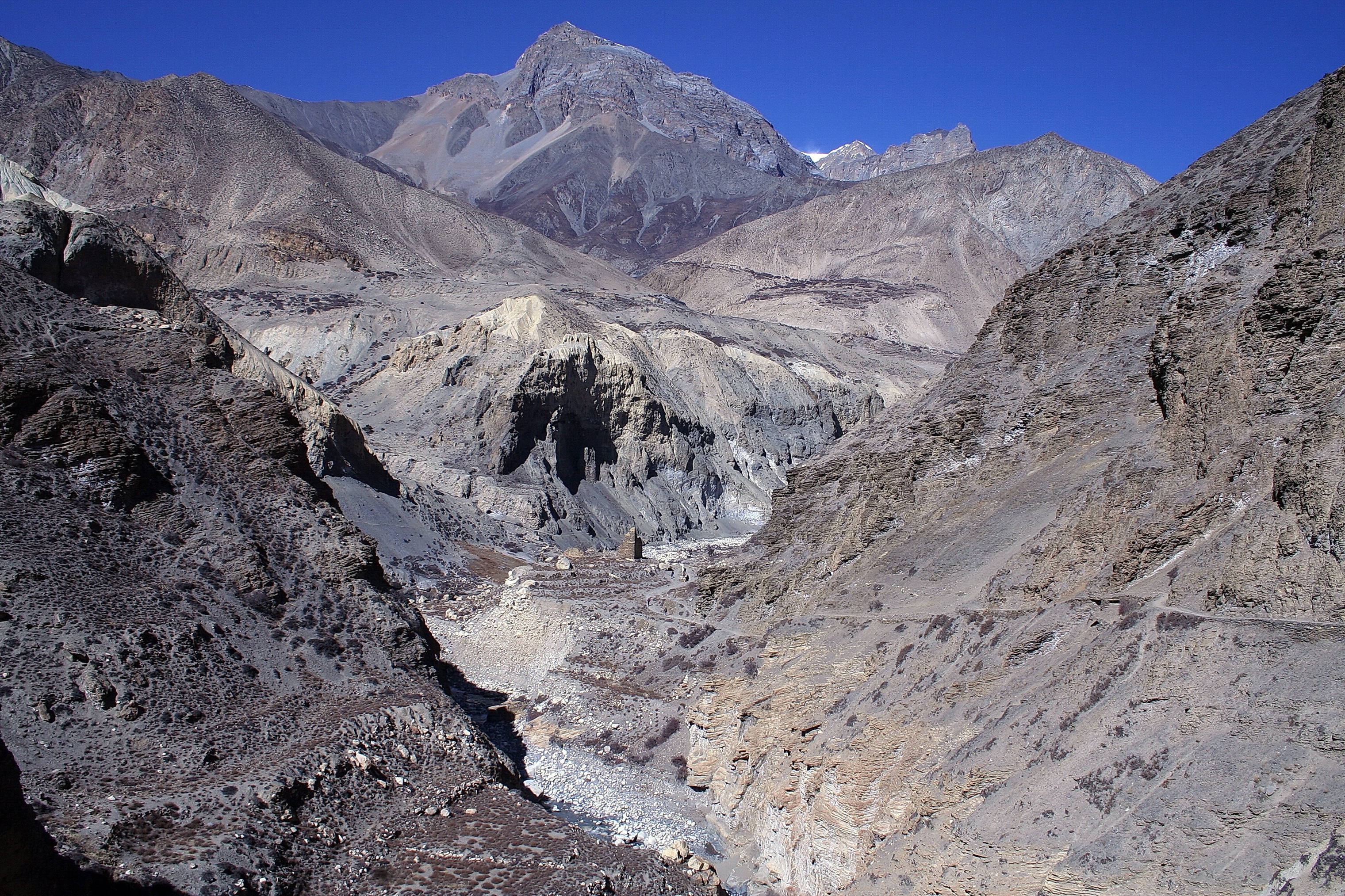
The rocky pathway of Phu Valley.
Day 6: Acclimatisation and exploration in Phu
Spend a day acclimatising in Phu. Wander its stone alleyways, visit Tashi Lhakhang Gompa, and interact with villagers. For those seeking extra adventure, an optional day hike to Himlung Himal Base Camp (4,842 m), a five-hour hike, provides panoramic mountain vistas and a taste of high-altitude trekking.
The beautiful landscapes seen in Phu Valley.
Day 7: Trek to Nar Phedi (3,550 m)
On this day, you will retrace your steps almost as far as Meta, so you will experience more downhill than uphill. Be prepared, though, as this will take close to five and a half hours to do. Descend into the Nar Valley near Lampa Cho Dzong, passing dramatic hoodoos and rugged cliffs. We then stay overnight at Nar Phedi Monastery, where nuns prepare traditional meals and offer insight into monastic life.
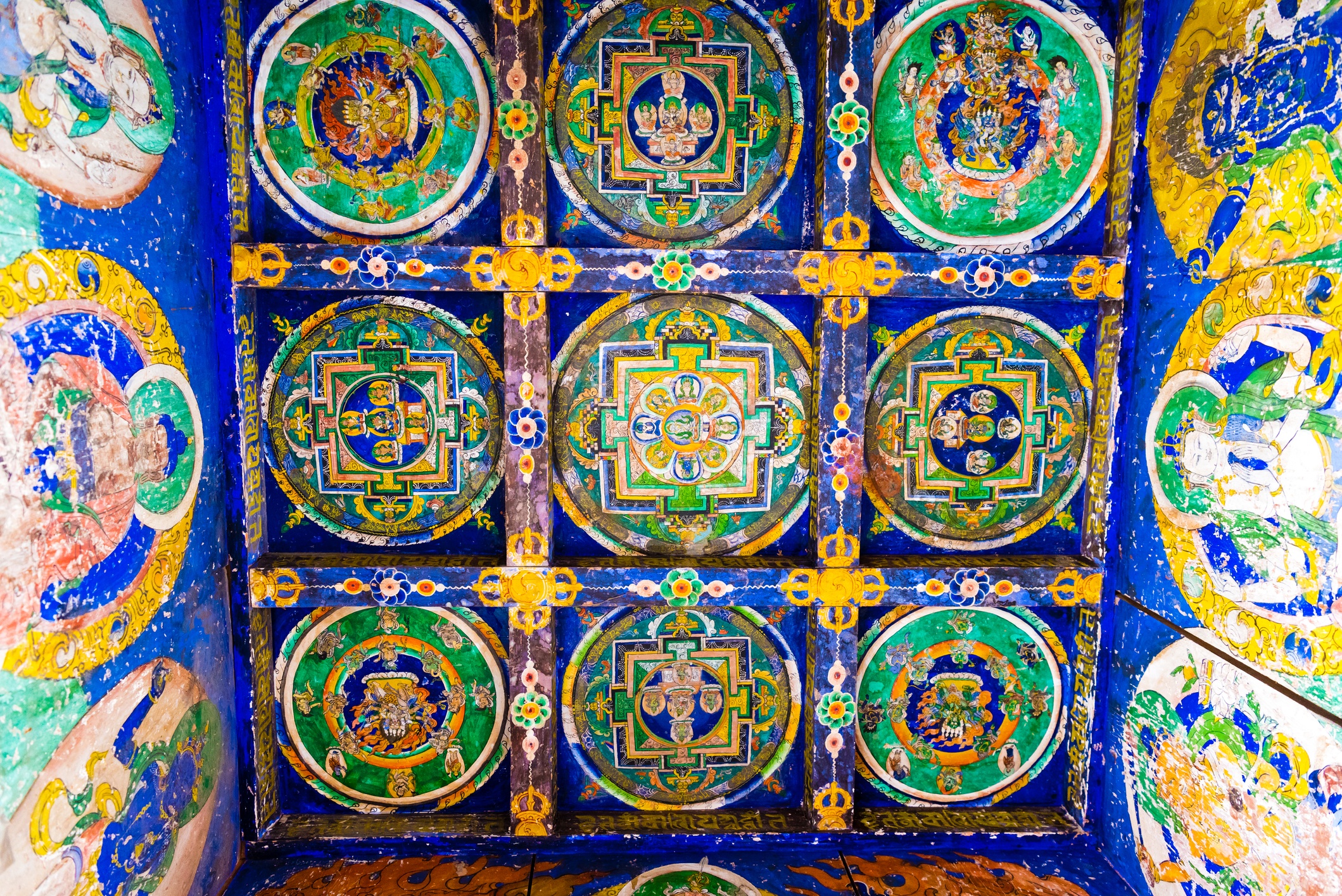
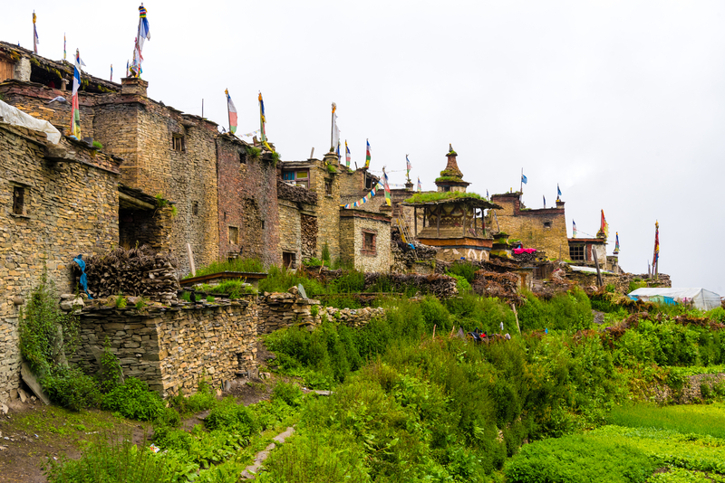
Old traditional gompa Buddhist structures in Nar village, Annapurna Conservation Area, Nepal`s largest protected area.
Day 8: Trek to Nar
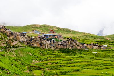
This three-hour short trek brings you to Nar (4,110 m), an ancient Tibetan-style village. Here you will explore terraced fields, observe women weaving blankets on traditional looms, and soak in the remote cultural atmosphere that few outside visitors experience.
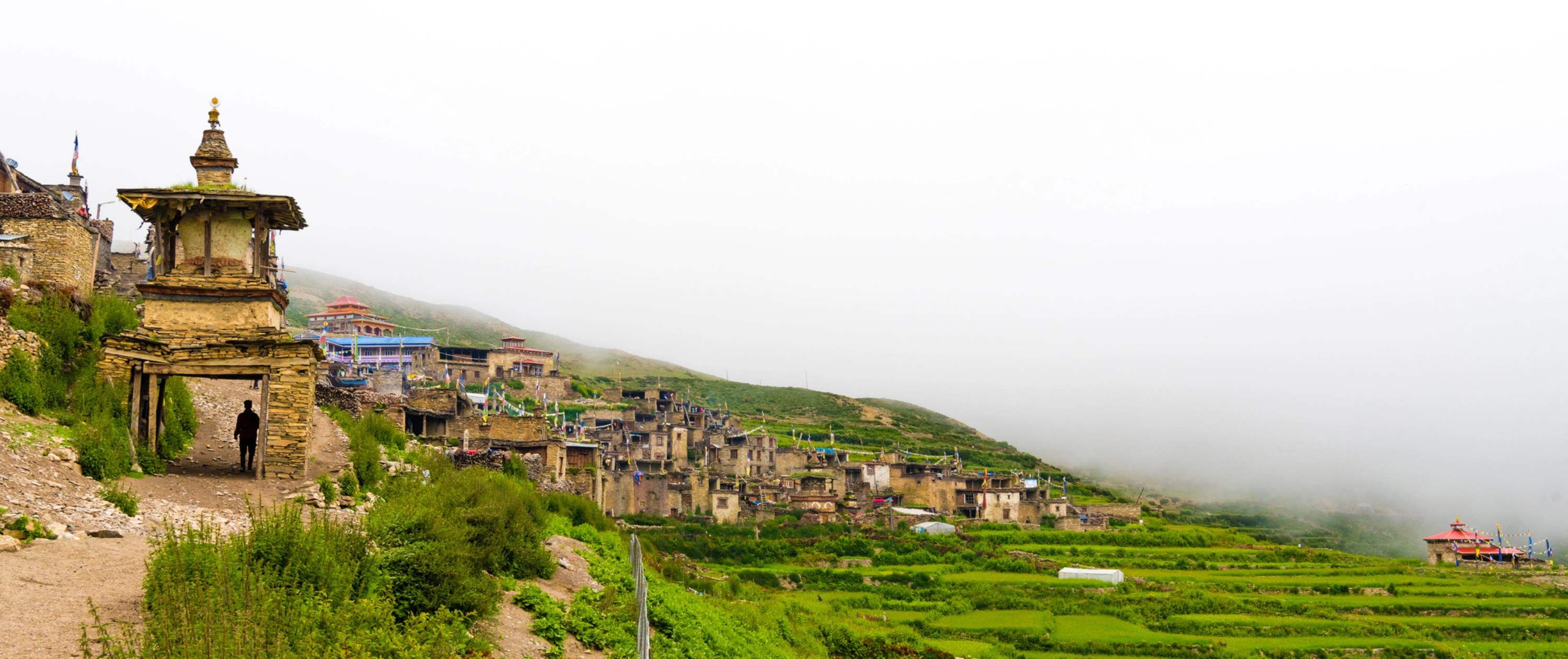
View of the Nar village.
Day 9: Cross Kang La Pass (5,240 m) to Ngawal (3,615 m)
This will be a challenging ascent that brings you to Kang La Pass, with wide Himalayan panoramas of Annapurna II, Gangapurna (7,455 m), and Tilicho Peak (7,134 m). You will then descend to the small settlement of Ngawal, where traditional stone houses and local monasteries reflect centuries of mountain life.

Trekkers take on the Kang La pass in the Nar-Phu Valley Trek.
Day 10: Trek to Manang
Return to the main Annapurna Circuit. Pass Braga Village with its centuries-old monastery and chortens before arriving at Manang (3,540 m), the main town in the region. It's a hub of teahouses, cafés, and trekking supplies, set against the backdrop of towering peaks.
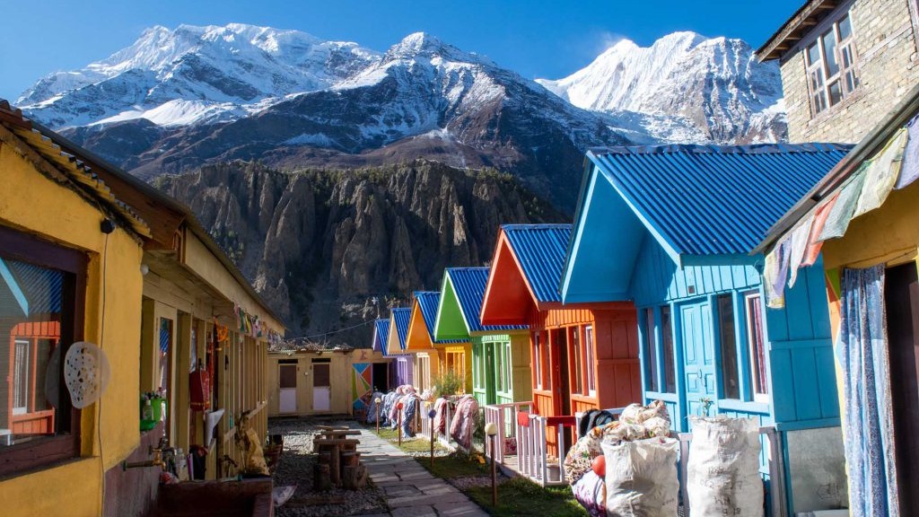
The beautiful town of Manang.
Day 11: Trek to Yak Kharka
Climb past Tenki Village, the last permanently inhabited settlement in this section, and ascend into Jarsang Valley. You will stay overnight in Yak Kharka (4,110 m), perched on a flat mountainside, with sweeping views of glaciers, peaks, and alpine meadows.

The high altitude village of Yak Kharka.
Day 12: Trek to Thorung Phedi
A steady climb brings you to Thorung Phedi (4,600 m), your base for crossing Thorong La Pass. You will then cross the suspension bridge over the Jarsang River and settle in for an early night to prepare for the Thorung La summit attempt.
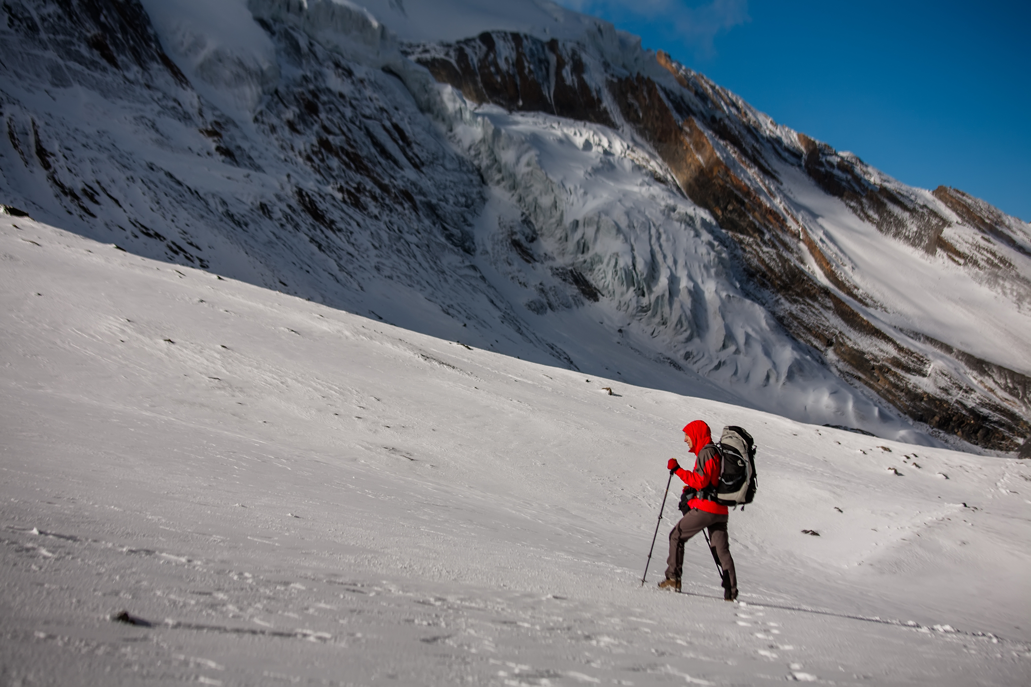
Trekker walking in the snow near Thorung La pass in Nepal.
Day 13: Cross Thorong La Pass and Descend to Jomsom
On this day, you will have the opportunity to summit Thorong La at dawn, and you will see great panoramic views of the Annapurna and Dhaulagiri ranges. You will then descend to Ranipauwa (3,700 m), where we will meet and drive south to Jomsom, where you can relax and celebrate your achievement.

View of the Ranipauwa Village.
Day 14: Fly to Pokhara
Take a scenic 20-minute flight to Pokhara, flying over the Kali Gandaki, the world’s deepest gorge. You will spend the night at a lakeside resort in Pokhara. Spend the day by the serene Phewa Lake, exploring local cafés and markets.

Colourful boats seen in Pokhara Phewa Lake.
Day 15: Fly to Kathmandu
You will spend the morning exploring Pokhara. You will then return to Kathmandu by flight, which is only 30 minutes. Use the afternoon to visit cultural landmarks, shop in Thamel, or simply relax. Enjoy a final group dinner celebrating the trek.
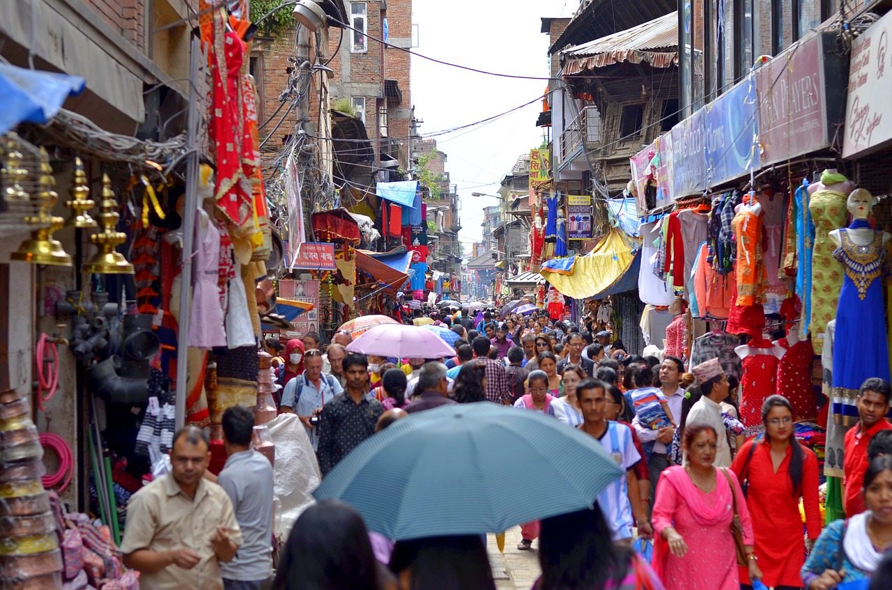
The busy streets of Kathmandu.
Day 16: Departure
Our Follow Alice team will drop you off at the Tribhuvan International Airport for your flight, marking the end of an unforgettable Himalayan journey.
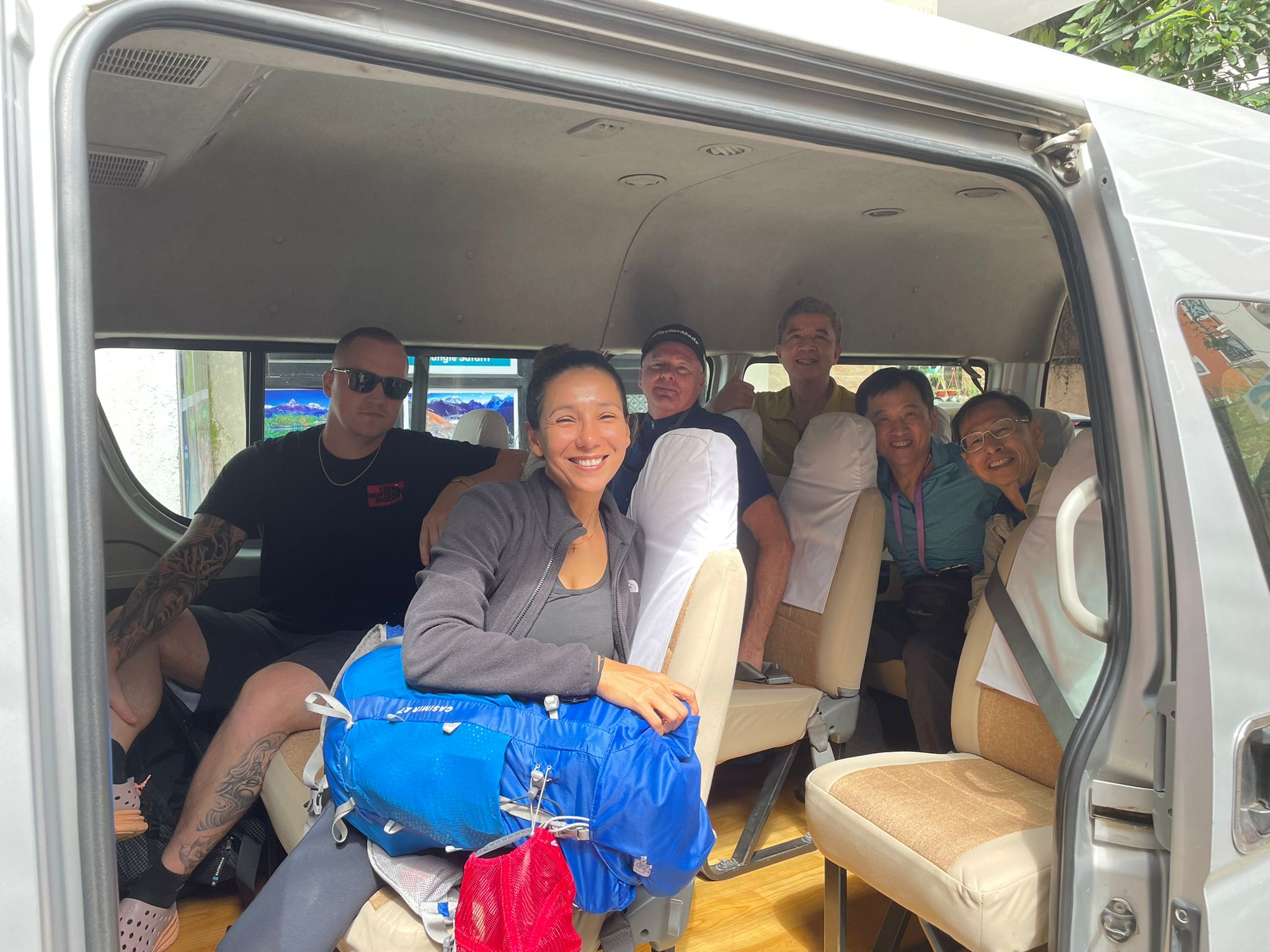
Group of smiling adults seated in a van headed to the airport in Nepal.
{{leadmagnet-two}}
Practical tips for the Nar–Phu and Annapurna Circuit Trek
Preparing well can make the difference between a challenging trek and an unforgettable adventure. Here are some key considerations to help you enjoy the Nar–Phu and Annapurna Circuit safely and comfortably:
- Best season: The ideal time to trek is March–May or September–November, when skies are clear, temperatures are moderate, and the mountain views are at their best.
- Fitness level: A good level of fitness is recommended, and prior trekking experience will make the journey more comfortable and enjoyable.
- Acclimatisation: To avoid altitude sickness, plan rest and acclimatisation days in Phu and Manang, giving your body time to adjust before higher passes.
- Gear essentials: Bring layered clothing for changing temperatures, sturdy trekking boots, poles for stability, a warm sleeping bag, and sun protection, including sunglasses, sunscreen, and a hat.
Take a look at this video to see what you can expect on the trek:
Why the Nar–Phu and Annapurna Circuit Trek Is Unforgettable
The Nar–Phu and Annapurna Circuit trek is more than just a hike; it’s such an immersive journey into the heart of Nepal’s high Himalayas. By combining the hidden valleys of Nar–Phu with the classic Annapurna Circuit, this trek offers a rare opportunity to experience both remote, traditional Himalayan culture and the world-famous panoramic landscapes that make the Annapurna region so loved.
Walking through the Nar Phu Valley Trek, you witness a way of life largely untouched by modernity. Stone villages cling to cliffs, yak herding continues as it has for centuries, and the Tibetan-influenced architecture and monasteries offer a spiritual connection that is hard to find elsewhere. Meanwhile, the Annapurna Circuit trek provides a very different contrast of vast alpine meadows, glacier-fed rivers, subtropical forests, and peaks of Manaslu, Dhaulagiri, and Annapurna I. Crossing both Kang La Pass and Thorong La Pass challenges your endurance, rewards your persistence, and leaves you with unparalleled mountain vistas.
Beyond the natural beauty, this trek is a cultural journey. You meet locals in Meta, Phu, Nar, and Manang, observe centuries-old farming practices, and witness traditional crafts like rug weaving. Each village offers insight into the resilience and adaptability of high-altitude communities, giving you a perspective on life in one of the world’s most remote regions.
Trekking the Nar–Phu and Annapurna Circuit itinerary is not without challenges. Good fitness, prior trekking experience, and careful acclimatisation are essential, especially as you navigate steep trails and high passes. Yet, it is precisely this combination of challenge, scenery, and cultural richness that makes the experience deeply rewarding. Whether you’re photographing the jagged peaks of the Annapurna range, meditating in a quiet gompa, or sipping tea with a family in Phu, every moment is an encounter with the extraordinary.
For those who want more than a standard trek, those who want to explore hidden valleys, witness ancient traditions, and see the high Himalayas from perspectives few travellers experience, the Nar–Phu Valley Trek integrated into the Annapurna Circuit is the perfect choice.
Take the first step toward this life-changing adventure with Follow Alice. Our expert guides, carefully planned logistics, and local knowledge ensure you experience the Nar–Phu and Annapurna Circuit trek safely, comfortably, and authentically. From handling permits and accommodation to guiding you through the remote villages and high passes, Follow Alice provides everything you need to focus on the journey itself.
Start planning your Himalayan adventure today and discover why the Nar–Phu and Annapurna Circuit itinerary remains one of Nepal’s most breathtaking and culturally rich trekking experiences. Contact Follow Alice to secure your spot, and let us guide you through landscapes, villages, and vistas that few ever see.