


Map of the Annapurna Circuit

Map showing the Annapurna Circuit trekking route offered by Follow Alice
The map above shows the shortened version of the Annapurna Circuit that we at Follow Alice offer clients.
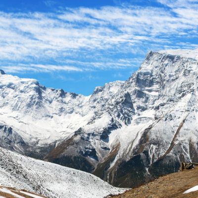
As you can see, it's a circular route, so you don't have to cover the same ground at any point. You can also see that you walk in an anticlockwise direction through the Annapurna Massif, which is a subrange of the Himalayas. During the trek you pass some spectacular mountains, including Annapurna I (8,091 m) and Annapurna II (7,937 m).
The trail starts in the forests in the eastern portion of the Annapurna Mountains, which is part of the Manang district. It leads up the Marsyangdi River valley for a few days, bringing you into a rain shadow region at the edge of the Tibetan plateau. It's here that you reach the highest point of the circuit: the mountain pass of Thorung La, which clocks in at 5,416 m above sea level and is always covered in snow and ice.
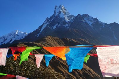
After crossing Thorung La, you descend into Mustang, an arid district that retains a distinct cultural identity thanks to a period in the late twentieth century when it was closed to all foreign travellers. You finish the trek in Ranipauwa, a town in the western Annapurna Mountains that offers a great view of Dhaulagiri (8,167 m), which is part of the Dhaulagiri Himal (another subrange of the Himalayas).
For a more thorough discussion of the trail and what to expect on the trek, please read Annapurna Circuit route – a detailed day-by-day itinerary.
{{leadmagnet-one}}
A shortened version of the classic Annapurna Circuit
The original or classic Annapurna Circuit route was first opened to foreigners in 1977. That route started and ended near the city of Pokhara, which you can see in the Annapurna Circuit trekking map shown above. You can still trek the classic route today – it takes around two or three weeks to complete.
Today, however, most trekkers opt to do a shortened version of the original Annapurna Circuit route.
The primary reason for this is that the lower sections of the classic route have since been turned into roads. This means anyone opting to do the original route must spend several days walking alongside vehicles – not such fun. Other reasons for doing a shortened version of the classic trail include the fact that many folks only have a limited number of vacation days, as well as pockets that can only support a roughly one-week trek.
Importantly, the shorter trek route that we (and most other tour operators) offer still retains the highest, remotest, most traditional and most dramatic portions of the classic Annapurna Circuit route.
Adding the Nar and Phu valleys to your trek

Nar–Phu and Annapurna Circuit trekking map
Some travellers understandably want a longer trek than what's offered by the newer, shorter version of the Annapurna Circuit trek. When that's the case, we recommend doing the Nar–Phu and Annapurna Circuit trek. As you can see in the map below, this trek is basically the Annapurna Circuit plus a detour into two much quieter, more remote valleys.
The Nar–Phu and Annapurna Circuit is an exciting variation of the shortened Annapurna Circuit trek. It almost doubles your number of trekking days (you trek for 11 days instead of just six). Importantly, it covers almost all of the same ground as our standard shortened Annapurna Circuit itinerary, including the mountain pass of Thorung La. It just adds another thrilling mountain pass crossing, while also introducing you to some truly remote and seldom-visited traditional villages.
It goes without saying that adding the Nar and Phu valleys to your itinerary gives you a longer and tougher route that requires even greater stamina. But we highly recommend booking this Annapurna Circuit variation if you're keen to supersize your Annapurna Mountains adventure!
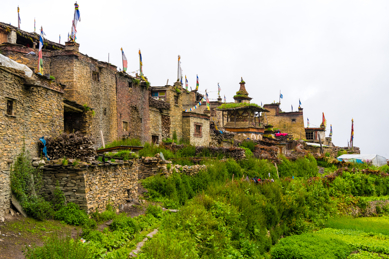
Part of Nar village in the quiet Nar Valley
Travelling to and from the Annapurna Circuit
There's a fair bit of commuting required on either side of the Annapurna Circuit. You can shorten this commuting time considerably by taking domestic flights. But they do up the price tag of the trip. We explain the route and different travelling options below to help you decide which is right for you ...
Getting to the Annapurna Circuit
All foreigners flying into Nepal must enter through Tribhuvan International Airport (KTM) in Kathmandu. From there, you can either fly or drive to Pokhara, a pretty lakeside city that sits on the edge of the southern Annapurna Mountains. Those doing the longer, classic version of the Annapurna Circuit start and end the trek in or near Pokhara.
As discussed above, most trekkers opt to be driven deeper and higher into the Annapurnas before starting to walk. At Follow Alice, we have our clients start the trek from the picturesque mountain town of Lower Pisang (3,200 m). It takes the best part of a day to drive from Pokhara to Lower Pisang.

The village of Lower Pisang
Travelling back to Kathmandu from the Annapurna Circuit
Most Annapurna Circuit trekkers also choose to end the trek in or near Ranipauwa in Mustang, rather than hike all the way back to Pokhara. From Ranipauwa, you can either drive all the way back to Pokhara, or you can drive to Jomsom and from there take a short plane ride to Pokhara. Either way, you're going to stay a night in the town of Jomsom. Once in Pokhara, you can either fly or drive back to Kathmandu.
The flight from Jomsom to Pokhara is truly exhilarating and gives you a different vantage point of the immense Kali Gandaki Gorge. It also shaves off a few hours of travel, giving you more time to relax in Pokhara, which is a popular tourist destination in its own right. It does, however, add to the price of your adventure. The same goes for the flight between Pokhara and Kathmandu; if you want a more affordable trip, it's better to do the daylong drive from Pokhara to Kathmandu.
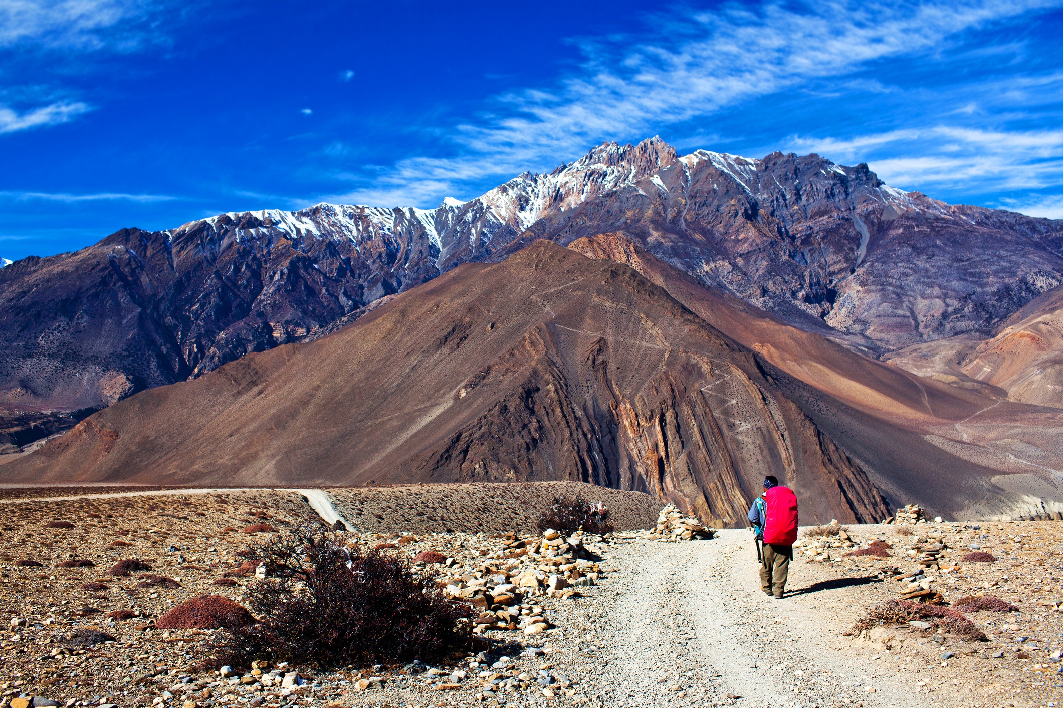
A trekker on the road to Jomsom – most now opt to drive this section of the classic trail
For those wishing to shorten the return commute and expand their relaxation time, we recommend our 13-day Annapurna Circuit trek with flights itinerary. For those with a stricter budget, we recommend our 13-day Annapurna Circuit trek by road itinerary.
The good news is this: with either option, you're in for the adventure of a lifetime!